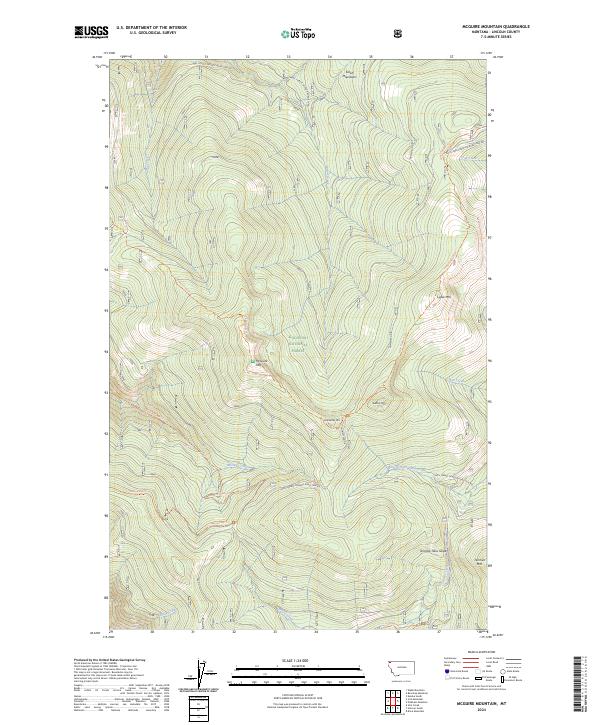
2024 Map of McGuire Mountain
USGS Topo · Published 2024About this map
The Salish Mountains define this high-altitude landscape in the Kootenai National Forest, where a complex network of peaks and drainages supports a vast system of forest access. The terrain is anchored by significant summits including McGuire Mtn, Lydia Mtn, and Sutton Mtn. This modern survey reveals how the mountain economy has transitioned from early homesteading, evidenced by Homestead Dr, to a sophisticated management area crisscrossed by roads like Natl Forest Develop Road 7993 Rd. Water flows from these heights through numerous drainages, most notably McGuire Creek and Flat Creek. The presence of specialized features like the Tenmile Talus Slope near Tenmile Mtn indicates a geologically active environment, while a dense network of trails such as the Lydia Pinkham Trl and McGuire/Inch Trl provides a detailed record of high-country accessibility in northwestern Montana.
Find a feature on this map
34 named features on this map. Tap any name to fly to it.
Don’t see what you’re looking for? This feature index may not catch every label — zoom into the map to look around manually.
Map Details
Editions of this 2024 McGuire Mountain Map
This is the sole edition of this map. No revisions or reprints were ever made.
Other maps of this area

1957 · Kalispell
USGS Topo · 1:250,000

1960 · Kalispell
USGS Topo · 1:250,000

1961 · Kalispell
USGS Topo · 1:250,000

1963 · Mc Guire Mountain
USGS Topo · 1:24,000

1963 · Eureka South
USGS Topo · 1:24,000

1963 · Davis Mountain
USGS Topo · 1:24,000

1963 · Webb Mountain
USGS Topo · 1:24,000
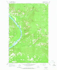
1963 · Volcour
USGS Topo · 1:24,000
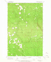
1963 · Pinkham Mountain
USGS Topo · 1:24,000
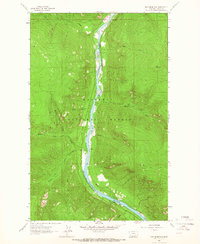
1963 · Inch Mountain
USGS Topo · 1:24,000