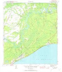
1945 Map of McIntyre
USGS Topo · Published 1960About this map
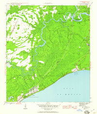
Camp Gordon Johnson dominates the coastline along the Gulf of Mexico in this wartime-era survey of Franklin and Wakulla counties. This military installation, located near Lanark, was a critical training site during the early 1940s, and its presence is reflected in the extensive military reservation boundaries shown. Inland, the landscape is defined by the winding paths of the Ochlockonee River and Crooked River, which meet amidst the dense woodlands of the Apalachicola National Forest. Small settlements like McIntyre and Rock Landing are situated near these waterways, while transportation across the rivers is facilitated by the Pinelog Ferry. The Seaboard Air Line RR provides a land-based connection through the marshy terrain, passing near points like Big Blackjack Landing. On the eastern edge, the St Marks Nat Wildlife Refuge borders the river, overseen by the St James Fire Tower.
Find a feature on this map
21 named features on this map. Tap any name to fly to it.
Don’t see what you’re looking for? This feature index may not catch every label — zoom into the map to look around manually.
Map Details
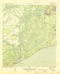
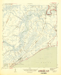
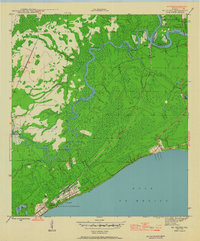
Editions of this 1945 McIntyre Map
6 editions found
Other maps of this area

1940 · Arran
USGS Topo · 1:62,500

1943 · Arran
USGS Topo · 1:62,500

1943 · Dog Island
USGS Topo · 1:31,680

1943 · Carrabelle
USGS Topo · 1:24,000

1943 · St. Teresa Beach
USGS Topo · 1:24,000

1944 · Pickett Bay
USGS Topo · 1:31,680

1944 · Carrabelle
USGS Topo · 1:31,680

1945 · Thousand Yard Bay
USGS Topo · 1:31,680

1945 · Mc Intyre
USGS Topo · 1:31,680

1945 · St Teresa
USGS Topo · 1:31,680