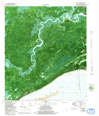
1982 Map of McIntyre
USGS Topo · Published 1992About this map
The Ochlockonee River and Crooked River wind through a dense network of coastal wetlands and pine forests in this detailed orthophotomap of the Florida Panhandle. Located along the boundary of the Apalachicola National Forest, the map captures the transition from inland riverine systems to the saltwater expanse of the Gulf of Mexico. Settlements like Lanark Village and Saint James occupy the thin strip of coastal land, while the interior is dominated by meandering creeks such as Hahn Creek and Brandy Creek. Evidence of local maritime and scientific activity is found at the Florida State Univ Marine Laboratory and various boat ramps and landings like Big Blackjack Landing. This survey, updated in the early 1990s, provides bathymetric data showing the underwater contours of Lanark Reef and Pelican Lump, revealing the complex seafloor topography that defines this stretch of the coast near McIntyre.
Find a feature on this map
31 named features on this map. Tap any name to fly to it.
Don’t see what you’re looking for? This feature index may not catch every label — zoom into the map to look around manually.
Map Details
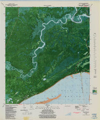
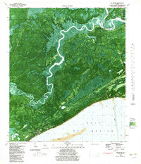
Editions of this 1982 McIntyre Map
Other maps of this area

1940 · Arran
USGS Topo · 1:62,500

1943 · Arran
USGS Topo · 1:62,500

1943 · Dog Island
USGS Topo · 1:31,680

1943 · Carrabelle
USGS Topo · 1:24,000

1943 · St. Teresa Beach
USGS Topo · 1:24,000

1944 · Pickett Bay
USGS Topo · 1:31,680

1944 · Carrabelle
USGS Topo · 1:31,680

1945 · Thousand Yard Bay
USGS Topo · 1:31,680

1945 · Mc Intyre
USGS Topo · 1:31,680

1945 · St Teresa
USGS Topo · 1:31,680