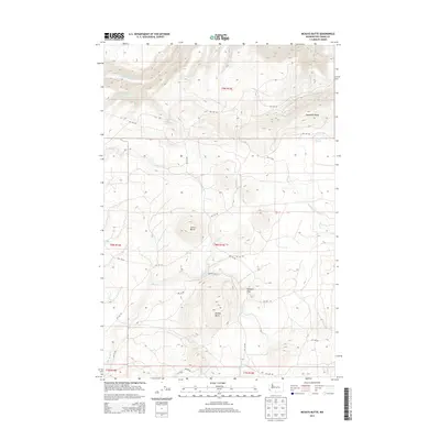
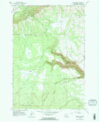
2013 Map of McKays Butte
USGS Topo · Published 2013About this map
McKays Butte and Simon Butte rise above a landscape defined by seasonal drainages and a network of Bureau of Indian Affairs roads in this 2013 survey. The terrain is characterized by the prominent east-west alignment of Toppenish Ridge, which directs the flow of Toppenish Cr and White Deer Cr through the northern sections of the quadrangle. High plateaus like Hoppers Flat provide open spaces between the carved drainages of Brush Cr and the Middle Fork Dry Cr.
Find a feature on this map
36 named features on this map. Tap any name to fly to it.
Don’t see what you’re looking for? This feature index may not catch every label — zoom into the map to look around manually.
Map Details
Editions of this 2013 McKays Butte Map
This is the sole edition of this map. No revisions or reprints were ever made.
Other maps of this area
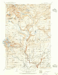
1904 · Mount Adams
USGS Topo · 1:125,000
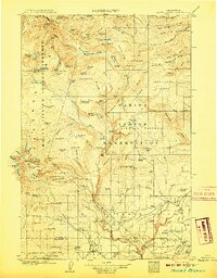
1907 · Mount Adams
USGS Topo · 1:125,000
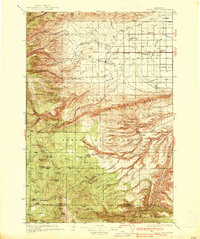
1937 · White Swan
USGS Topo · 1:125,000

1950 · Yakima
USGS Topo · 1:250,000
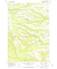
1957 · Willy Dick Canyon
USGS Topo · 1:24,000
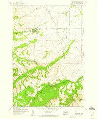
1958 · Fort Simcoe
USGS Topo · 1:24,000
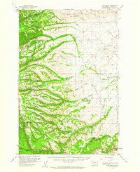
1958 · Fort Simcoe
USGS Topo · 1:62,500

1958 · Yakima
USGS Topo · 1:250,000
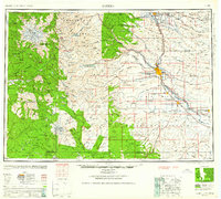
1961 · Yakima
USGS Topo · 1:250,000
1965 · Camas Patch
USGS Topo · 1:24,000