
1958 Map of Fort Simcoe
USGS Topo · Published 1960About this map
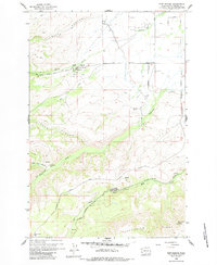
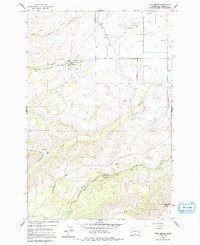
Fort Simcoe Historical State Park and the surrounding Yakama Nation territory are the focal points of this 1958 survey. The landscape is defined by the sharp transition from the canyon floors of Toppenish Creek and Mill Creek to the high elevations of Toppenish Ridge. Named landmarks like Whiskey Jim Flat and Barbers Flat suggest early ranching or homesteading history, while the presence of the Mill Creek Guard Station and numerous private logging routes like Hitchcocks Logging Road highlight the importance of forest management and timber in this era.
Find a feature on this map
37 named features on this map. Tap any name to fly to it.
Don’t see what you’re looking for? This feature index may not catch every label — zoom into the map to look around manually.
Map Details
Editions of this 1958 Fort Simcoe Map
3 editions found
Other maps of this area

1937 · White Swan
USGS Topo · 1:125,000

1950 · Yakima
USGS Topo · 1:250,000

1957 · Yesmowit Canyon
USGS Topo · 1:24,000
1957 · Willy Dick Canyon
USGS Topo · 1:24,000

1958 · Toppenish Mtn.
USGS Topo · 1:24,000

1958 · Fort Simcoe
USGS Topo · 1:62,500

1958 · White Swan
USGS Topo · 1:24,000
1958 · Medicine Valley
USGS Topo · 1:24,000

1958 · Yakima
USGS Topo · 1:250,000

1961 · Yakima
USGS Topo · 1:250,000