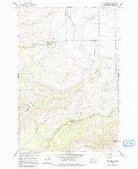
1958 Map of Fort Simcoe
USGS Topo · Published 1991About this map
Fort Simcoe Historical State Park serves as the focal point of this mid-century landscape, preserving the site of the mid-19th century military installation and subsequent Indian Agency. The map detail highlights the preservation of local history through labels like Mool Mool Spring and a marked Grave near the park's center. To the south, the terrain transitions into the steep elevations of Toppenish Ridge, where the Satus Peak Lookout stands sentinel over the canyon systems. Water management is a visible priority across this arid geography, evidenced by the presence of a Canal, a Siphon, and a Flume along Agency Creek. Settlement is sparse, represented by named clearings such as Barbers Flat and Whiskey Jim Flat, connected by a network of primitive routes including the Mt Adams Highway and various logging roads.
Find a feature on this map
39 named features on this map. Tap any name to fly to it.
Don’t see what you’re looking for? This feature index may not catch every label — zoom into the map to look around manually.
Map Details
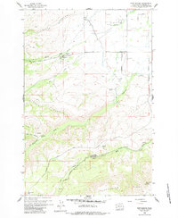
Editions of this 1958 Fort Simcoe Map
3 editions found
Other maps of this area

1937 · White Swan
USGS Topo · 1:125,000

1950 · Yakima
USGS Topo · 1:250,000

1957 · Yesmowit Canyon
USGS Topo · 1:24,000
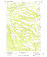
1957 · Willy Dick Canyon
USGS Topo · 1:24,000

1958 · Toppenish Mtn.
USGS Topo · 1:24,000

1958 · Fort Simcoe
USGS Topo · 1:24,000

1958 · Fort Simcoe
USGS Topo · 1:62,500

1958 · White Swan
USGS Topo · 1:24,000
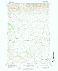
1958 · Medicine Valley
USGS Topo · 1:24,000

1958 · Yakima
USGS Topo · 1:250,000