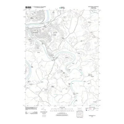
2010 Map of McKeesport
USGS Topo · Published 2010About this map
The confluence of the Monongahela River and the Youghiogheny River anchors this industrial and residential landscape, centered on the urban core of McKeesport. In the northern reaches, West Mifflin and White Oak exhibit a dense network of suburban development and established institutions, including the Penn State University at McKeesport and numerous historic burial grounds such as Beth Jacob Cemetery and Saint Nicholas Cemetery.
Find a feature on this map
123 named features on this map. Tap any name to fly to it.
Don’t see what you’re looking for? This feature index may not catch every label — zoom into the map to look around manually.
Map Details
Editions of this 2010 McKeesport Map
This is the sole edition of this map. No revisions or reprints were ever made.
Other maps of this area

1902 · Brownsville
USGS Topo · 1:62,500

1902 · Connellsville
USGS Topo · 1:62,500

1904 · Mc Keesport
USGS Topo · 1:62,500

1904 · Greensburg
USGS Topo · 1:62,500

1906 · Brownsville
USGS Topo · 1:62,500

1906 · Greensburg
USGS Topo · 1:62,500

1907 · Pittsburg
USGS Topo · 1:62,500

1931 · Brownsville
USGS Topo · 1:62,500

1931 · Connellsville
USGS Topo · 1:62,500

1933 · Brownsville
USGS Topo · 1:62,500