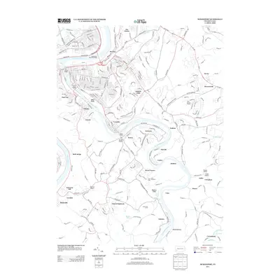
2013 Map of McKeesport
USGS Topo · Published 2013About this map
The Monongahela River and Youghiogheny River define this industrial and residential landscape southeast of Pittsburgh in the early 21st century. The map centers on the confluence and the dense network of bridges connecting communities like Port Vue, Liberty, and Versailles. From the urban concentration of White Oak and Riverton in the north, the terrain transitions into the steep ravines of Boston Hollow and Harrison Hollow to the south.
Find a feature on this map
53 named features on this map. Tap any name to fly to it.
Don’t see what you’re looking for? This feature index may not catch every label — zoom into the map to look around manually.
Map Details
Editions of this 2013 McKeesport Map
This is the sole edition of this map. No revisions or reprints were ever made.
Other maps of this area

1902 · Brownsville
USGS Topo · 1:62,500

1902 · Connellsville
USGS Topo · 1:62,500

1904 · Mc Keesport
USGS Topo · 1:62,500

1904 · Greensburg
USGS Topo · 1:62,500

1906 · Brownsville
USGS Topo · 1:62,500

1906 · Greensburg
USGS Topo · 1:62,500

1907 · Pittsburg
USGS Topo · 1:62,500

1931 · Brownsville
USGS Topo · 1:62,500

1931 · Connellsville
USGS Topo · 1:62,500

1933 · Brownsville
USGS Topo · 1:62,500