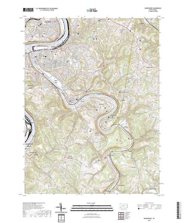
2023 Map of McKeesport
USGS Topo · Published 2023About this map
The Monongahela River and Youghiogheny River converge at McKeesport, defining a landscape deeply marked by its industrial and ethnic heritage. This topography reveals a high density of religious and cultural landmarks, particularly evident in the numerous cemeteries serving diverse communities such as the Saint Nicholas Russian Orthodox Cem, Saint Mary Czestochowa Cem, and the Temple B'nai Israel Cem of White Oak.
Find a feature on this map
113 named features on this map. Tap any name to fly to it.
Don’t see what you’re looking for? This feature index may not catch every label — zoom into the map to look around manually.
Map Details
Editions of this 2023 McKeesport Map
This is the sole edition of this map. No revisions or reprints were ever made.
Other maps of this area

1902 · Brownsville
USGS Topo · 1:62,500

1902 · Connellsville
USGS Topo · 1:62,500

1904 · Mc Keesport
USGS Topo · 1:62,500

1904 · Greensburg
USGS Topo · 1:62,500

1906 · Brownsville
USGS Topo · 1:62,500

1906 · Greensburg
USGS Topo · 1:62,500

1907 · Pittsburg
USGS Topo · 1:62,500

1931 · Brownsville
USGS Topo · 1:62,500

1931 · Connellsville
USGS Topo · 1:62,500

1933 · Brownsville
USGS Topo · 1:62,500