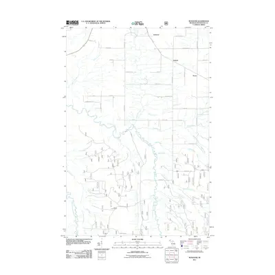
2011 Map of McKeever
USGS Topo · Published 2011About this map
McKeever and the neighboring settlements of Wainola and Wasas sit within a landscape defined by the drainage network of the East Branch Ontonagon River. This northern Michigan terrain is heavily influenced by the presence of the Ottawa National Forest, characterized by a dense grid of forest service routes such as Forest Hwy 1180 and Forest Rd 866. The area's topography is punctuated by the Gardner Lookout Tower, a key vantage point for fire surveillance over the surrounding timberlands. Numerous tributaries including Porterfield Creek, Bond Creek, and Adventure Creek carve through the region, illustrating the intricate hydrology that shaped early settlement patterns and subsequent land use. Local history is reflected in the naming of rural corridors like Post Office Rd and Riikonen Rd, which hint at the agricultural and homesteading roots that preceded contemporary forest management.
Find a feature on this map
46 named features on this map. Tap any name to fly to it.
Don’t see what you’re looking for? This feature index may not catch every label — zoom into the map to look around manually.
Map Details
Editions of this 2011 McKeever Map
This is the sole edition of this map. No revisions or reprints were ever made.
Other maps of this area

1949 · Rockland
USGS Topo · 1:62,500

1950 · Greenland
USGS Topo · 1:62,500

1951 · Rockland
USGS Topo · 1:62,500

1951 · Greenland
USGS Topo · 1:62,500

1954 · Rousseau
USGS Topo · 1:62,500

1954 · Winona
USGS Topo · 1:62,500

1958 · Iron River
USGS Topo · 1:250,000

1960 · Iron River
USGS Topo · 1:250,000

1961 · Iron River
USGS Topo · 1:250,000

1967 · Iron River
USGS Topo · 1:250,000