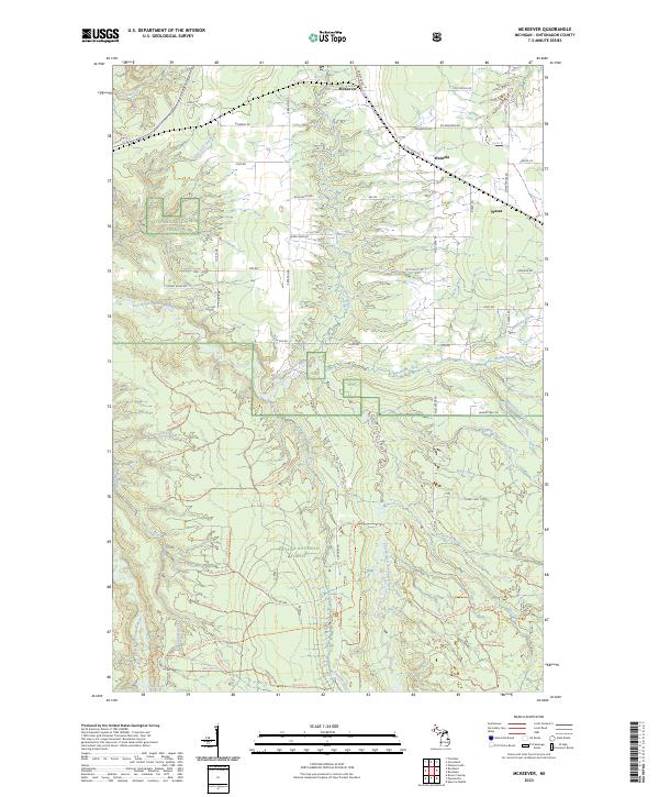
2023 Map of McKeever
USGS Topo · Published 2023About this map
The Ottawa National Forest blankets much of this Upper Peninsula landscape, where the confluence of rivers and small logging-era settlements defines the interior of Ontonagon County. Along the northern edge, the tiny hamlets of McKeever, Wainola, and Wasas sit near the intersection of old timber roads and drainage systems. The hydrography here is dense, featuring the Flintsteel River in the northwest and the Ontonagon Wild and Scenic River winding through the central forest lands.
Find a feature on this map
79 named features on this map. Tap any name to fly to it.
Don’t see what you’re looking for? This feature index may not catch every label — zoom into the map to look around manually.
Map Details
Editions of this 2023 McKeever Map
This is the sole edition of this map. No revisions or reprints were ever made.
Other maps of this area

1949 · Rockland
USGS Topo · 1:62,500

1950 · Greenland
USGS Topo · 1:62,500

1951 · Rockland
USGS Topo · 1:62,500

1951 · Greenland
USGS Topo · 1:62,500

1954 · Rousseau
USGS Topo · 1:62,500

1954 · Winona
USGS Topo · 1:62,500

1958 · Iron River
USGS Topo · 1:250,000

1960 · Iron River
USGS Topo · 1:250,000

1961 · Iron River
USGS Topo · 1:250,000

1967 · Iron River
USGS Topo · 1:250,000