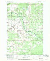
1959 Map of McKenna
USGS Topo · Published 1969About this map
The Nisqually River carves a winding path through this Pierce and Thurston County landscape, dividing the Fort Lewis Military Reservation from the developing rural settlements to the south. During the late 1950s, the region was defined by its expansive open spaces, specifically the Yelm Prairie and Smith Prairie. The town of Yelm serves as a primary hub, situated near Solberg Lake and McKenzie Lake, while the smaller settlement of McKenna sits directly on the riverbank, marked by industrial Ruins. The map illustrates a complex water management system of flumes and ditches alongside significant rail infrastructure, including the Pacific Northern and Milwaukee Chicago St Paul line. From the heights of Bald Hill to the curiously named Mock City within the military boundary, this survey preserves a transitional moment of Northwest prairie life before suburban expansion.
Find a feature on this map
52 named features on this map. Tap any name to fly to it.
Don’t see what you’re looking for? This feature index may not catch every label — zoom into the map to look around manually.
Map Details
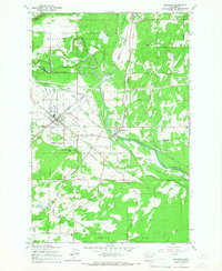
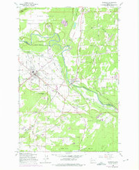
Editions of this 1959 McKenna Map
3 editions found
Other maps of this area

1897 · Tacoma
USGS Topo · 1:125,000

1900 · Tacoma
USGS Topo · 1:125,000

1916 · Chehalis
USGS Topo · 1:125,000

1937 · Eatonville
USGS Topo · 1:125,000

1940 · Anderson Island
USGS Topo · 1:62,500

1941 · Tanwax Lake
USGS Topo · 1:62,500

1941 · Tacoma South
USGS Topo · 1:62,500

1944 · Tacoma South
USGS Topo · 1:62,500

1944 · Yelm
USGS Topo · 1:62,500

1944 · Ohop Valley
USGS Topo · 1:62,500