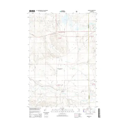
2014 Map of McKinley
USGS Topo · Published 2014About this map
The Au Sable River winds through the southern portion of this landscape, marking a significant corridor within the Huron National Forest. The settlement of McKinley sits along its northern bank, serving as a focal point for the region's geography and history. Nearby, the McKinley Cem offers a genealogical touchstone for researchers tracing families from this part of Mitchell Township.
Find a feature on this map
38 named features on this map. Tap any name to fly to it.
Don’t see what you’re looking for? This feature index may not catch every label — zoom into the map to look around manually.
Map Details
Editions of this 2014 McKinley Map
This is the sole edition of this map. No revisions or reprints were ever made.
Other maps of this area

1954 · Traverse City
USGS Topo · 1:250,000

1954 · Tawas City
USGS Topo · 1:250,000

1955 · Comins
USGS Topo · 1:62,500

1958 · Traverse City
USGS Topo · 1:250,000

1958 · Tawas City
USGS Topo · 1:250,000

1972 · McKinley
USGS Topo · 1:24,000

1972 · Curran
USGS Topo · 1:24,000

1972 · McCollum Lake
USGS Topo · 1:24,000

1972 · Goodar
USGS Topo · 1:24,000

1972 · Mack Lake
USGS Topo · 1:24,000