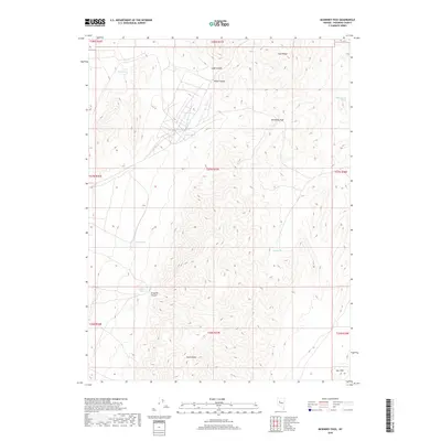
2018 Map of McKinney Pass
USGS Topo · Published 2018About this map
McKinney Pass serves as a central transition point through the East Range in this remote section of Pershing County. The landscape is defined by its vital water sources, with names like Polkinghorne Spring, Dago Spring, and Root Spring indicating the critical locations for early ranching and travel in this high-desert environment. The settlement of Fencemaker sits in the southern portion of the quadrangle, serving as a focal point for the surrounding canyons and hills. The terrain is deeply incised by drainages such as Ladd Canyon, Reed Canyon, and Grayson Canyon, which lead down from the heights toward the valley floor. To the southeast, the Sou Hills rise above the basin, while other water points like Twin Springs, Grayson Spring, and Kyle Spring highlight the historical importance of localized hydrography in Nevada's Great Basin geography.
Find a feature on this map
21 named features on this map. Tap any name to fly to it.
Don’t see what you’re looking for? This feature index may not catch every label — zoom into the map to look around manually.
Map Details
Editions of this 2018 McKinney Pass Map
This is the sole edition of this map. No revisions or reprints were ever made.
Other maps of this area
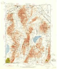
1932 · Sonoma Range
USGS Topo · 1:250,000
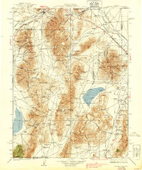
1939 · Sonoma Range
USGS Topo · 1:250,000

1955 · Winnemucca
USGS Topo · 1:250,000

1958 · Winnemucca
USGS Topo · 1:250,000
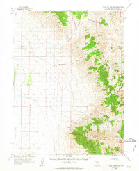
1961 · Kyle Hot Springs
USGS Topo · 1:62,500
1961 · Mt. Tobin
USGS Topo · 1:62,500
1961 · Cain Mountain
USGS Topo · 1:62,500
1961 · Fencemaker
USGS Topo · 1:62,500
1962 · Winnemucca
USGS Topo · 1:250,000
1982 · Fish Creek Mts
USGS Topo · 1:100,000