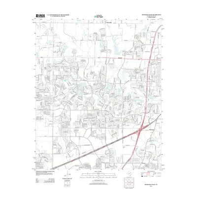
2013 Map of McKinney West
USGS Topo · Published 2013About this map
Bloomdale and Buckner anchor the northern reaches of this 2013 survey, which documents the suburban expansion and modern infrastructure characteristic of the North Texas landscape. The sheet reveals a dense network of residential developments and arterials, such as Co RD 123 and FM 1461, interspersed with legacy family landmarks. Genealogists and local historians can trace numerous burial grounds, including Hunt Cem, Ware Cem, and Scott Cem, which remain as markers of the area's earlier rural history amidst contemporary growth. The eastern edge is dominated by the N Central Expy corridor passing through Fairview and past the settlement of Wetsel. Aviation interests are represented by the Aero Country Airport, while the natural drainage of the region is defined by winding waterways like Wilson Cr and Cottonwood Cr.
Find a feature on this map
73 named features on this map. Tap any name to fly to it.
Don’t see what you’re looking for? This feature index may not catch every label — zoom into the map to look around manually.
Map Details
Editions of this 2013 McKinney West Map
This is the sole edition of this map. No revisions or reprints were ever made.
Other maps of this area

1924 · Mc Kinney 4-d
USGS Topo · 1:48,000

1929 · Frisco
USGS Topo · 1:62,500

1929 · McKinney
USGS Topo · 1:62,500

1954 · Sherman
USGS Topo · 1:250,000

1958 · Sherman
USGS Topo · 1:250,000

1959 · Wylie
USGS Topo · 1:24,000

1960 · Frisco
USGS Topo · 1:24,000

1960 · McKinney East
USGS Topo · 1:24,000

1960 · Celina
USGS Topo · 1:24,000

1960 · Plano
USGS Topo · 1:24,000