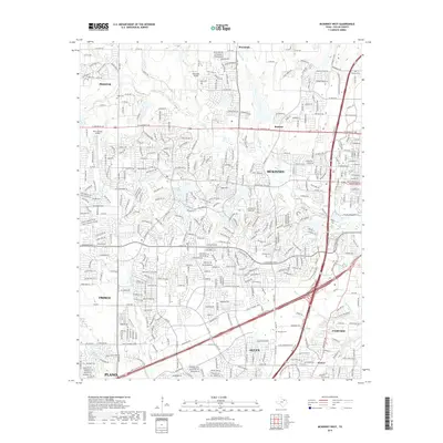
2019 Map of McKinney West
USGS Topo · Published 2019About this map
McKinney and the surrounding north Texas suburbs are shown in a state of dense residential development during the late 2010s. The landscape is a network of modern subdivisions and thoroughfares like W Eldorado Pkwy and Virginia Pkwy FM 3038, yet fragments of the area's rural past remain visible. Small cemeteries such as Hunt Cem, Stimson Cem, and McLarry Cem are preserved amidst the expanding street grids of Frisco, Allen, and Plano.
Find a feature on this map
58 named features on this map. Tap any name to fly to it.
Don’t see what you’re looking for? This feature index may not catch every label — zoom into the map to look around manually.
Map Details
Editions of this 2019 McKinney West Map
This is the sole edition of this map. No revisions or reprints were ever made.
Other maps of this area

1924 · Mc Kinney 4-d
USGS Topo · 1:48,000

1929 · Frisco
USGS Topo · 1:62,500

1929 · McKinney
USGS Topo · 1:62,500

1954 · Sherman
USGS Topo · 1:250,000

1958 · Sherman
USGS Topo · 1:250,000

1959 · Wylie
USGS Topo · 1:24,000

1960 · Frisco
USGS Topo · 1:24,000

1960 · McKinney East
USGS Topo · 1:24,000

1960 · Celina
USGS Topo · 1:24,000

1960 · Plano
USGS Topo · 1:24,000