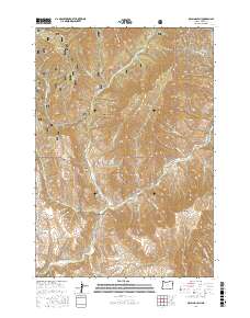
2017 Map of McLain Gulch
USGS Topo · Published 2017About this map
Whitman National Forest dominates this northeastern Oregon landscape, where the intricate drainages of the Pine Creek watershed carve through high-elevation terrain. This 2017 survey details a remote area of Baker County characterized by deep canyons and prominent flats, such as Grouse Flat and Black Canyon. The land is defined by its water sources, including the major confluence at North Pine Creek and the presence of high-country springs like Gregg Spring and McGee Spring. Access into this backcountry is primary via forest service corridors like North Pine Road and NFD 39 Road, which follow the contours of the gulches. For those studying the geography of the Blue Mountains, the map shows the complex network of seasonal and perennial streams, including Plummer Gulch and Grays Gulch, as they feed into the larger river system of the region.
Find a feature on this map
36 named features on this map. Tap any name to fly to it.
Don’t see what you’re looking for? This feature index may not catch every label — zoom into the map to look around manually.
Map Details
Editions of this 2017 McLain Gulch Map
This is the sole edition of this map. No revisions or reprints were ever made.
Other maps of this area
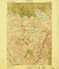
1915 · Pine
USGS Topo · 1:125,000
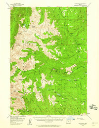
1954 · Cornucopia
USGS Topo · 1:62,500

1955 · Baker
USGS Topo · 1:250,000
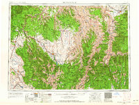
1955 · Grangeville
USGS Topo · 1:250,000
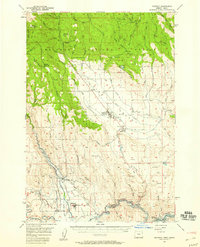
1957 · Halfway
USGS Topo · 1:62,500
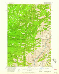
1957 · Homestead
USGS Topo · 1:62,500
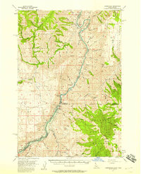
1957 · Copperfield
USGS Topo · 1:62,500

1959 · Baker
USGS Topo · 1:250,000
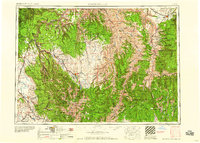
1959 · Grangeville
USGS Topo · 1:250,000
1980 · McCall
USGS Topo · 1:100,000