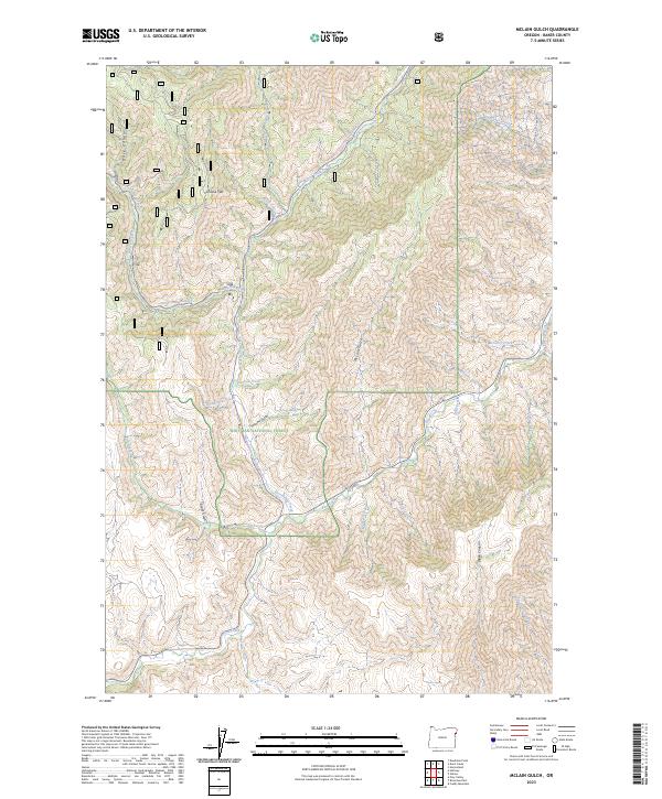
2023 Map of McLain Gulch
USGS Topo · Published 2023About this map
Whitman National Forest dominates this section of Baker County, where the high-altitude terrain is defined by a dense network of gulches and creeks feeding into the larger drainage systems of the region. The landscape is marked by the deep incisions of McLain Gulch and Plummer Gulch, while North Pine Creek carves a central path through the timbered slopes. This 2023 survey illustrates how modern recreation has adapted to the mountain environment, showing the Wallowa Mtn Loop-Snowmobile Trl and the Little Elk Snowmobile Trl traversing the ridges near Grouse Flat. Named features like No-Business Creek and Grays Gulch suggest a history of early ranching or prospecting in these steep canyons, where seasonal water sources like Gregg Spring and McGee Spring remain vital landmarks in an otherwise unforgiving geography.
Find a feature on this map
34 named features on this map. Tap any name to fly to it.
Don’t see what you’re looking for? This feature index may not catch every label — zoom into the map to look around manually.
Map Details
Editions of this 2023 McLain Gulch Map
This is the sole edition of this map. No revisions or reprints were ever made.
Other maps of this area

1915 · Pine
USGS Topo · 1:125,000

1954 · Cornucopia
USGS Topo · 1:62,500

1955 · Baker
USGS Topo · 1:250,000

1955 · Grangeville
USGS Topo · 1:250,000

1957 · Halfway
USGS Topo · 1:62,500

1957 · Homestead
USGS Topo · 1:62,500

1957 · Copperfield
USGS Topo · 1:62,500

1959 · Baker
USGS Topo · 1:250,000

1959 · Grangeville
USGS Topo · 1:250,000

1980 · McCall
USGS Topo · 1:100,000