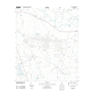
2012 Map of McLaurin
USGS Topo · Published 2012About this map
The Leaf River winds through the northern landscape of this Forrest County region, creating a complex geography of oxbows and secondary basins like Quickswipe Lake and Blue Lake. To the south, the terrain shifts toward the aviation and military infrastructure of the early 21st century, defined by the presence of Hagler Army Airfield and the McLaurin Landing Field. This intersection of natural watercourses and strategic land use provides a clear picture of the area's development.
Find a feature on this map
92 named features on this map. Tap any name to fly to it.
Don’t see what you’re looking for? This feature index may not catch every label — zoom into the map to look around manually.
Map Details
Editions of this 2012 McLaurin Map
This is the sole edition of this map. No revisions or reprints were ever made.
Other maps of this area

1947 · New Augusta
USGS Topo · 1:62,500

1949 · New Augusta
USGS Topo · 1:62,500

1953 · Hattiesburg
USGS Topo · 1:250,000

1958 · Hattiesburg
USGS Topo · 1:250,000

1963 · Rock Hill
USGS Topo · 1:24,000

1964 · Carterville
USGS Topo · 1:24,000

1964 · Ovett SE
USGS Topo · 1:24,000

1964 · Hattiesburg
USGS Topo · 1:24,000

1965 · Dixie
USGS Topo · 1:24,000
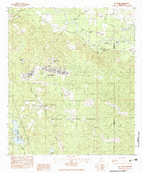
1983 · McLaurin
USGS Topo · 1:24,000