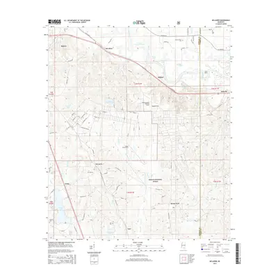
2015 Map of McLaurin
USGS Topo · Published 2015About this map
The Leaf River carves a winding path through the eastern portion of this landscape, creating a series of oxbow features like Quickswipe Lake and Ginfield Lake near the community of Ragland. The terrain is defined by the Ragland Hills and the northern reaches of the DeSoto National Forest, where smaller tributaries like Poplar Creek and Davis Creek drain into the river system. Military and aviation presence is notable through the inclusion of Shelby Auxiliary Field One Airport and Hagler Army Airfield.
Find a feature on this map
83 named features on this map. Tap any name to fly to it.
Don’t see what you’re looking for? This feature index may not catch every label — zoom into the map to look around manually.
Map Details
Editions of this 2015 McLaurin Map
This is the sole edition of this map. No revisions or reprints were ever made.
Other maps of this area

1947 · New Augusta
USGS Topo · 1:62,500

1949 · New Augusta
USGS Topo · 1:62,500

1953 · Hattiesburg
USGS Topo · 1:250,000

1958 · Hattiesburg
USGS Topo · 1:250,000

1963 · Rock Hill
USGS Topo · 1:24,000

1964 · Carterville
USGS Topo · 1:24,000

1964 · Ovett SE
USGS Topo · 1:24,000

1964 · Hattiesburg
USGS Topo · 1:24,000

1965 · Dixie
USGS Topo · 1:24,000
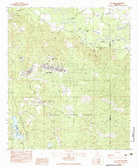
1983 · McLaurin
USGS Topo · 1:24,000