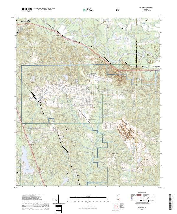
2024 Map of McLaurin
USGS Topo · Published 2024About this map
The sprawling military installation of Camp Shelby dominates the southeastern quadrant of this Forrest County landscape, illustrating the enduring footprint of defense in southern Mississippi. The terrain transitions from the lowlands of the Leaf River and Jakes Creek in the north to the upland ridges of the Ragland Hills and Barron Point. Throughout the De Soto National Forest, aviation infrastructure such as Hagler Army Airport and Shelby Auxiliary Field One Airport speaks to the tactical importance of this corridor south of Hattiesburg.
Find a feature on this map
103 named features on this map. Tap any name to fly to it.
Don’t see what you’re looking for? This feature index may not catch every label — zoom into the map to look around manually.
Map Details
Editions of this 2024 McLaurin Map
This is the sole edition of this map. No revisions or reprints were ever made.
Other maps of this area

1947 · New Augusta
USGS Topo · 1:62,500

1949 · New Augusta
USGS Topo · 1:62,500

1953 · Hattiesburg
USGS Topo · 1:250,000

1958 · Hattiesburg
USGS Topo · 1:250,000

1963 · Rock Hill
USGS Topo · 1:24,000

1964 · Carterville
USGS Topo · 1:24,000

1964 · Ovett SE
USGS Topo · 1:24,000

1964 · Hattiesburg
USGS Topo · 1:24,000

1965 · Dixie
USGS Topo · 1:24,000
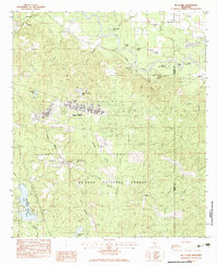
1983 · McLaurin
USGS Topo · 1:24,000