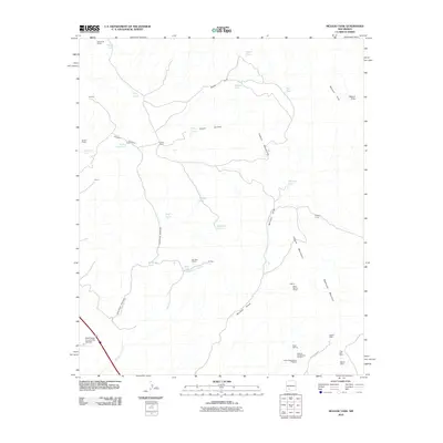
2010 Map of McLeod Tank
USGS Topo · Published 2010About this map
Mining operations and ranching land define this high-desert landscape in the Caballo Mountains during the early 21st century. The map reveals a high concentration of mineral exploration and extract sites, particularly in the southeastern quadrant near Redhouse Mountain. Names such as the Velarde Black Darling Group, Luchini Manganese Prospect, and the Blackie Mine indicate the area's ongoing history with manganese and other minerals.
Find a feature on this map
37 named features on this map. Tap any name to fly to it.
Don’t see what you’re looking for? This feature index may not catch every label — zoom into the map to look around manually.
Map Details
Editions of this 2010 McLeod Tank Map
This is the sole edition of this map. No revisions or reprints were ever made.
Other maps of this area

1955 · Las Cruces
USGS Topo · 1:250,000

1958 · Las Cruces
USGS Topo · 1:250,000

1958 · Arroyo Cuervo
USGS Topo · 1:24,000

1959 · Hatch
USGS Topo · 1:24,000

1959 · Rincon
USGS Topo · 1:24,000

1959 · Upham
USGS Topo · 1:62,500

1961 · Caballo
USGS Topo · 1:24,000

1961 · Nutt
USGS Topo · 1:62,500

1961 · Garfield
USGS Topo · 1:24,000

1982 · Hatch
USGS Topo · 1:100,000