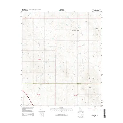
2013 Map of McLeod Tank
USGS Topo · Published 2013About this map
The Caballo Mountains define the high ground of this territory on the border of Sierra and Doña Ana counties. In an arid landscape where water management is central to the local economy and survival, the map reveals an extensive system of catchments and troughs. These range from the centrally located McLeod Tank to specialized sites like Mine Tank and Red Hill Tank, showing how ranchers and land managers utilized the natural topography to gather seasonal runoff.
Find a feature on this map
29 named features on this map. Tap any name to fly to it.
Don’t see what you’re looking for? This feature index may not catch every label — zoom into the map to look around manually.
Map Details
Editions of this 2013 McLeod Tank Map
This is the sole edition of this map. No revisions or reprints were ever made.
Other maps of this area

1955 · Las Cruces
USGS Topo · 1:250,000

1958 · Las Cruces
USGS Topo · 1:250,000

1958 · Arroyo Cuervo
USGS Topo · 1:24,000

1959 · Hatch
USGS Topo · 1:24,000

1959 · Rincon
USGS Topo · 1:24,000

1959 · Upham
USGS Topo · 1:62,500

1961 · Caballo
USGS Topo · 1:24,000

1961 · Nutt
USGS Topo · 1:62,500

1961 · Garfield
USGS Topo · 1:24,000

1982 · Hatch
USGS Topo · 1:100,000