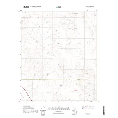
2020 Map of McLeod Tank
USGS Topo · Published 2020About this map
The Caballo Mountains define the high ground of this Southern New Mexico landscape, marking a rugged transition in the terrain north of the Doña Ana and Sierra county line. Water management is the central human imprint on this arid geography, evidenced by an extensive network of named tanks and catchments like Broken House Tank, Mine Tank, and Tripple Tank. These features, along with McLeod Draw and Broadhurst Arroyo, illustrate how ranching and land use were organized around seasonal water sources in this high-desert environment. The eastern edge of the quadrangle is anchored by the McLeod Hills and Hogue Hills, while Redhouse Mtn stands as a prominent landmark in the southeast corner. This 2020 edition provides a contemporary look at these long-standing geological and survey boundaries, showing how the historic t17s r3w and t18s r4w townships intersect with natural drainage systems like Garfield Canyon.
Find a feature on this map
30 named features on this map. Tap any name to fly to it.
Don’t see what you’re looking for? This feature index may not catch every label — zoom into the map to look around manually.
Map Details
Editions of this 2020 McLeod Tank Map
This is the sole edition of this map. No revisions or reprints were ever made.
Other maps of this area

1955 · Las Cruces
USGS Topo · 1:250,000

1958 · Las Cruces
USGS Topo · 1:250,000

1958 · Arroyo Cuervo
USGS Topo · 1:24,000

1959 · Hatch
USGS Topo · 1:24,000

1959 · Rincon
USGS Topo · 1:24,000

1959 · Upham
USGS Topo · 1:62,500

1961 · Caballo
USGS Topo · 1:24,000

1961 · Nutt
USGS Topo · 1:62,500

1961 · Garfield
USGS Topo · 1:24,000

1982 · Hatch
USGS Topo · 1:100,000