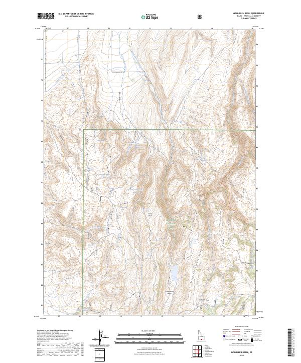
2023 Map of McMullen Basin
USGS Topo · Published 2023About this map
Sawtooth National Forest dominates the southern landscape of this Idaho interior, where the high-elevation terrain is defined by complex ridges and isolated water sources. The map records a series of high-altitude basins, including McMullen Basin, Cottonwood Basin, and Horse Basin, which historically served as vital landmarks for navigation and grazing in this part of Twin Falls County.
Find a feature on this map
43 named features on this map. Tap any name to fly to it.
Don’t see what you’re looking for? This feature index may not catch every label — zoom into the map to look around manually.
Map Details
Editions of this 2023 McMullen Basin Map
2 editions found
Other maps of this area

1955 · Twin Falls
USGS Topo · 1:250,000

1958 · Twin Falls
USGS Topo · 1:250,000

1965 · Hollister
USGS Topo · 1:24,000

1965 · Stricker Butte
USGS Topo · 1:24,000

1965 · Berger
USGS Topo · 1:24,000

1965 · Grand View Peak
USGS Topo · 1:24,000

1965 · Hub Butte
USGS Topo · 1:24,000

1965 · Mc Mullen Basin
USGS Topo · 1:24,000

1977 · Rogerson
USGS Topo · 1:24,000

1978 · Hopper Gulch
USGS Topo · 1:24,000