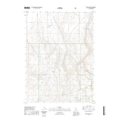
2023 Map of McMullen Basin
USGS Topo · Published 2023About this map
McMullen Basin and the southern slopes of the Snake River Plain define this high-desert landscape in southern Idaho. The area is characterized by a complex network of seasonal watercourses and springs, essential for land management within the Sawtooth National Forest. Significant water management features include several upland impoundments such as Dry Fork Reservoir, Curtis Reservoir, and the Upper Burnt Creek Reservoir. These reservoirs, along with drainage systems like Dry Cottonwood Creek and McMullen Creek, reflect the region's reliance on managed water resources for ranching and forest conservation. The topography is marked by distinctive landforms like Huja Hundu and North Cottonwood Ridge, which separate the various basins. For those studying the hydrology of Twin Falls County, the map identifies numerous specific water sources including Moonshine Spring, Goat Springs, and Rice Creek Spring, providing a precise look at the natural and man-made water distribution across this section of the Idaho backcountry.
Find a feature on this map
40 named features on this map. Tap any name to fly to it.
Don’t see what you’re looking for? This feature index may not catch every label — zoom into the map to look around manually.
Map Details
Editions of this 2023 McMullen Basin Map
2 editions found
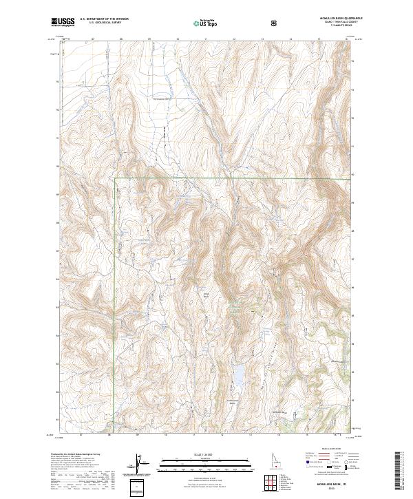
Other maps of this area

1955 · Twin Falls
USGS Topo · 1:250,000

1958 · Twin Falls
USGS Topo · 1:250,000

1965 · Hollister
USGS Topo · 1:24,000

1965 · Stricker Butte
USGS Topo · 1:24,000

1965 · Berger
USGS Topo · 1:24,000

1965 · Grand View Peak
USGS Topo · 1:24,000

1965 · Hub Butte
USGS Topo · 1:24,000

1965 · Mc Mullen Basin
USGS Topo · 1:24,000

1977 · Rogerson
USGS Topo · 1:24,000

1978 · Hopper Gulch
USGS Topo · 1:24,000