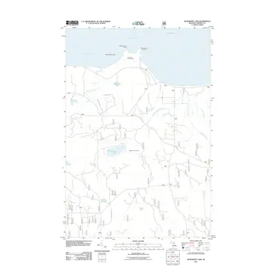
2011 Map of McNearney Lake
USGS Topo · Published 2011About this map
Whitefish Bay and Tahquamenon Bay define the northern shoreline of this Upper Peninsula landscape, where the waters of Lake Superior meet a complex network of coastal wetlands and inland lakes. The area is marked by distinctive geographical features like Naomikong Island and Menekaunee Point. A significant site for local history is the Naomikong Point Cemetery, located near the mouth of Naomikong Creek.
Find a feature on this map
21 named features on this map. Tap any name to fly to it.
Don’t see what you’re looking for? This feature index may not catch every label — zoom into the map to look around manually.
Map Details
Editions of this 2011 McNearney Lake Map
This is the sole edition of this map. No revisions or reprints were ever made.
Other maps of this area

1941 · Strongs
USGS Topo · 1:63,360

1951 · Strongs
USGS Topo · 1:24,000

1951 · McNearney Lake
USGS Topo · 1:24,000

1951 · Pendills Lake
USGS Topo · 1:24,000

1951 · Emerson
USGS Topo · 1:24,000

1951 · Piatt Lake
USGS Topo · 1:24,000

1951 · Sullivan Creek
USGS Topo · 1:24,000

1951 · Eckerman
USGS Topo · 1:24,000

1951 · Strongs
USGS Topo · 1:62,500

1951 · Eckerman
USGS Topo · 1:62,500