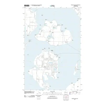
2011 Map of McNeil Island
USGS Topo · Published 2011About this map
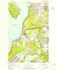
McNeil Island and its complex network of water management features dominate the center of this Puget Sound landscape. The island, home to a well-known correctional facility, shows specialized infrastructure including the Prison Farm Sewage Lagoon and numerous small reservoirs like Butterworth Reservoir and Luhr Creek Reservoir, each managed by its own dam. These details reflect the isolated, self-sustaining nature of the island community during this period.
Find a feature on this map
111 named features on this map. Tap any name to fly to it.
Don’t see what you’re looking for? This feature index may not catch every label — zoom into the map to look around manually.
Map Details
Editions of this 2011 McNeil Island Map
This is the sole edition of this map. No revisions or reprints were ever made.
Other maps of this area
1937 · Olympia
USGS Topo · 1:62,500
1938 · Allyn
USGS Topo · 1:62,500
1940 · Anderson Island
USGS Topo · 1:62,500

1942 · Gig Harbor
USGS Topo · 1:62,500

1943 · Gig Harbor
USGS Topo · 1:62,500
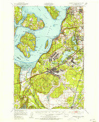
1948 · Anderson Island
USGS Topo · 1:62,500
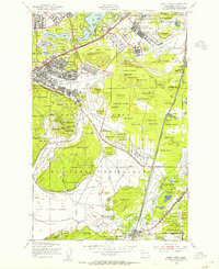
1948 · Fort Lewis
USGS Topo · 1:24,000
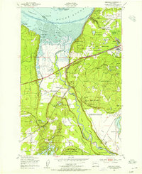
1948 · Nisqually
USGS Topo · 1:24,000
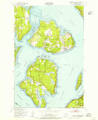
1948 · Anderson Island
USGS Topo · 1:24,000
1948 · Steilacoom
USGS Topo · 1:24,000