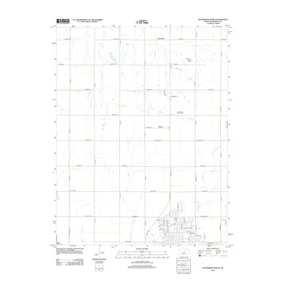
2012 Map of McPherson North
USGS Topo · Published 2012About this map
The northern reaches of McPherson, Kansas, and the outlying agricultural landscape are depicted in this 2012 survey. The residential growth at the edge of the city is evident in the detailed street network, which includes E Northview Ave, Darlow Dr, and Countryside Dr. Just outside the urban boundary, the terrain is defined by a grid of rural roads and the meandering paths of Dry Turkey Cr and Indian Cr. The small community of Johnstown sits at the northern edge of the map along Quivira Rd, while Hilton is positioned more centrally. These small settlements and the local landmarks like Crestwood Memorial Park provide a clear view of how land use transitions from organized municipal development to the broad Kansas prairie, where water bodies like Bull Cr and Clear Pond serve as vital features of the rural drainage system.
Find a feature on this map
56 named features on this map. Tap any name to fly to it.
Don’t see what you’re looking for? This feature index may not catch every label — zoom into the map to look around manually.
Map Details
Editions of this 2012 McPherson North Map
This is the sole edition of this map. No revisions or reprints were ever made.
Other maps of this area

1891 · Hutchinson
USGS Topo · 1:125,000

1892 · Salina
USGS Topo · 1:125,000

1893 · Hutchinson
USGS Topo · 1:125,000

1942 · Salina
USGS Topo · 1:125,000

1955 · Hutchinson
USGS Topo · 1:250,000

1959 · Hutchinson
USGS Topo · 1:250,000

1964 · Marquette
USGS Topo · 1:24,000

1964 · Conway
USGS Topo · 1:24,000

1965 · Mc Pherson South
USGS Topo · 1:24,000

1965 · Galva
USGS Topo · 1:24,000