
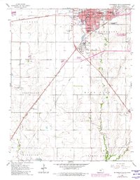
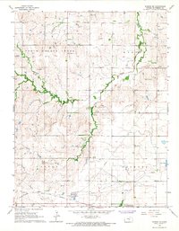
1965 Map of Mc Pherson South
USGS Topo · Published 1966About this map
McPherson serves as a significant regional hub in the mid-1960s, defined by its concentration of educational institutions and industrial infrastructure. The city center is home to McPherson College and Central College, alongside local schools like Wickersham Sch and Roosevelt Sch. A massive Refinery and a network of pipelines south of the city underscore the importance of the petroleum industry to the local economy.
Find a feature on this map
30 named features on this map. Tap any name to fly to it.
Don’t see what you’re looking for? This feature index may not catch every label — zoom into the map to look around manually.
Map Details
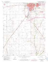
Editions of this 1965 Mc Pherson South Map
3 editions found
Other maps of this area

1891 · Hutchinson
USGS Topo · 1:125,000

1893 · Hutchinson
USGS Topo · 1:125,000

1955 · Hutchinson
USGS Topo · 1:250,000

1959 · Hutchinson
USGS Topo · 1:250,000

1964 · Conway
USGS Topo · 1:24,000

1965 · Galva
USGS Topo · 1:24,000

1965 · Halstead NW
USGS Topo · 1:24,000
1965 · Mc Pherson SE
USGS Topo · 1:24,000
1965 · Mc Pherson North
USGS Topo · 1:24,000
1965 · Windom NE
USGS Topo · 1:24,000