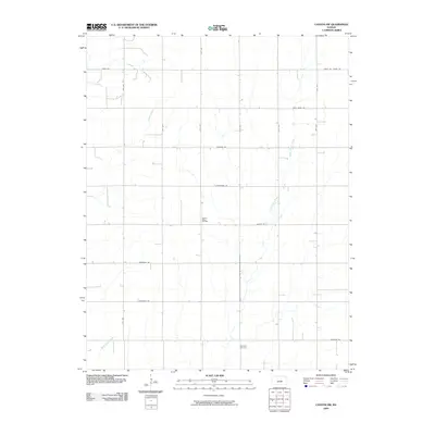
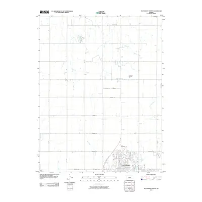
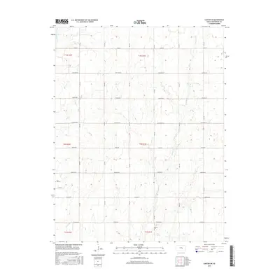
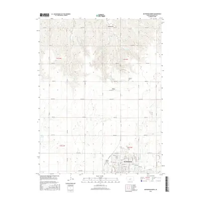
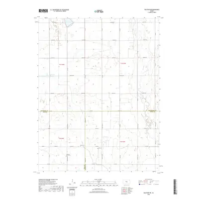
1965 Map of Halstead NW
USGS Topo · Published 1966About this map
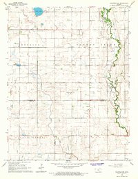
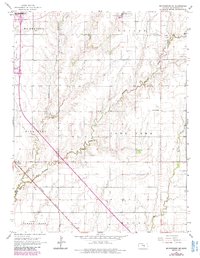
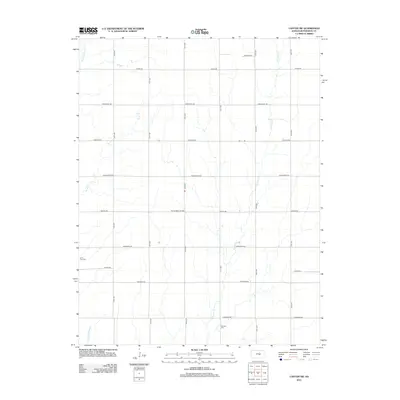
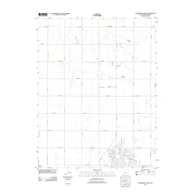
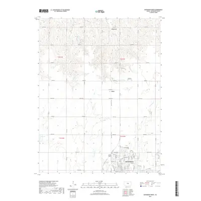
Lake Inman and the surrounding prairie of Central Kansas define this 1965 survey, documenting a landscape where agricultural life follows the winding paths of the Blaze Fork and Turkey Creek. The map captures a high concentration of community landmarks essential for family history research, particularly the numerous rural cemeteries like Hebron Cem, Ebenezer Cem, and the Hoffnungsau Ch Cem. These sites, often situated near country churches like Hoffnungsau Ch, reflect the deep-rooted settlement patterns across the borders of McPherson, Reno, and Harvey counties.
Find a feature on this map
20 named features on this map. Tap any name to fly to it.
Don’t see what you’re looking for? This feature index may not catch every label — zoom into the map to look around manually.
Map Details
Editions of this 1965 Halstead NW Map
This is the sole edition of this map. No revisions or reprints were ever made.
Historical Maps of Reno County Through Time
48 maps found
1964 Conway
McPherson County, KS
1965 Halstead NW
McPherson County, KS
1965 Lindsborg SE
McPherson County, KS
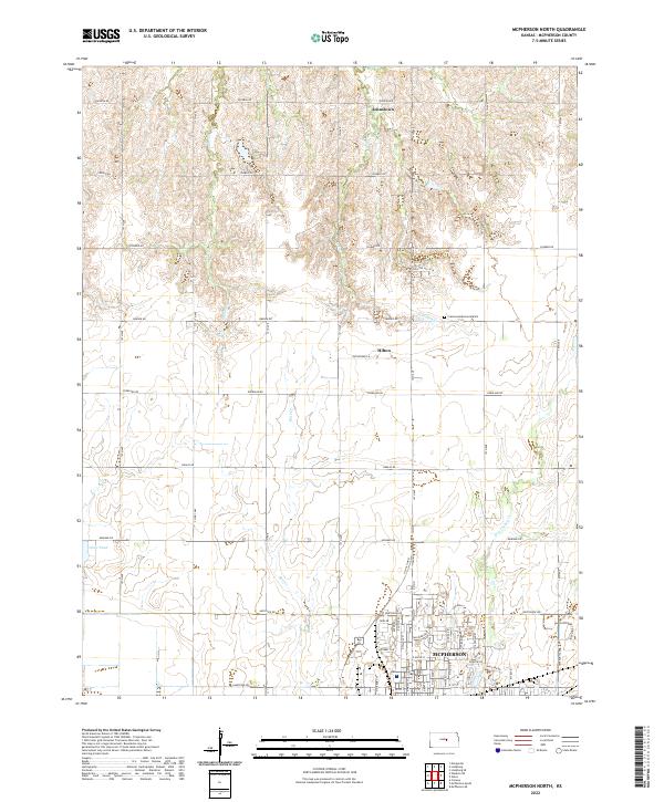
1965 Mc Pherson North
McPherson County, KS
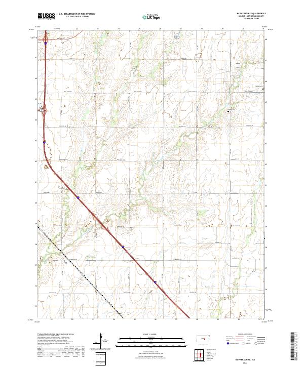
1965 Mc Pherson SE
McPherson County, KS
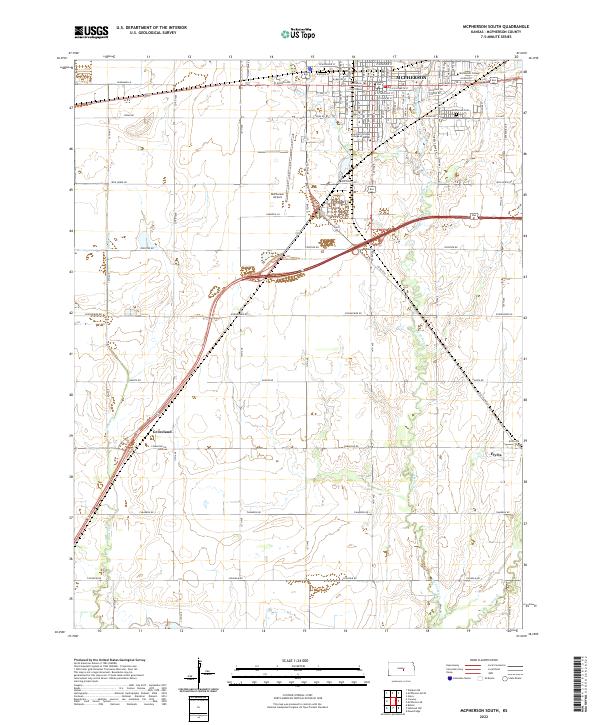
1965 Mc Pherson South
McPherson County, KS
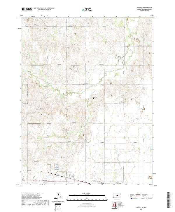
1965 Windom NE
McPherson County, KS
1971 Canton SW
McPherson County, KS
2009 Canton SW
McPherson County, KS
2009 Conway
McPherson County, KS
2009 Halstead NW
McPherson County, KS
2009 Lindsborg SE
McPherson County, KS
2009 McPherson North
McPherson County, KS
2009 McPherson SE
McPherson County, KS
2009 McPherson South
McPherson County, KS
2009 Windom NE
McPherson County, KS
2012 Canton SW
McPherson County, KS
2012 Conway
McPherson County, KS
2012 Halstead NW
McPherson County, KS
2012 Lindsborg SE
McPherson County, KS
2012 McPherson North
McPherson County, KS
2012 McPherson SE
McPherson County, KS
2012 McPherson South
McPherson County, KS
2012 Windom NE
McPherson County, KS
2015 Canton SW
McPherson County, KS
2015 Conway
McPherson County, KS
2015 Halstead NW
McPherson County, KS
2015 Lindsborg SE
McPherson County, KS
2015 McPherson North
McPherson County, KS
2015 McPherson SE
McPherson County, KS
2015 McPherson South
McPherson County, KS
2015 Windom NE
McPherson County, KS
2018 Canton SW
McPherson County, KS
2018 Conway
McPherson County, KS
2018 Halstead NW
McPherson County, KS
2018 Lindsborg SE
McPherson County, KS
2018 McPherson North
McPherson County, KS
2018 McPherson SE
McPherson County, KS
2018 McPherson South
McPherson County, KS
2018 Windom NE
McPherson County, KS
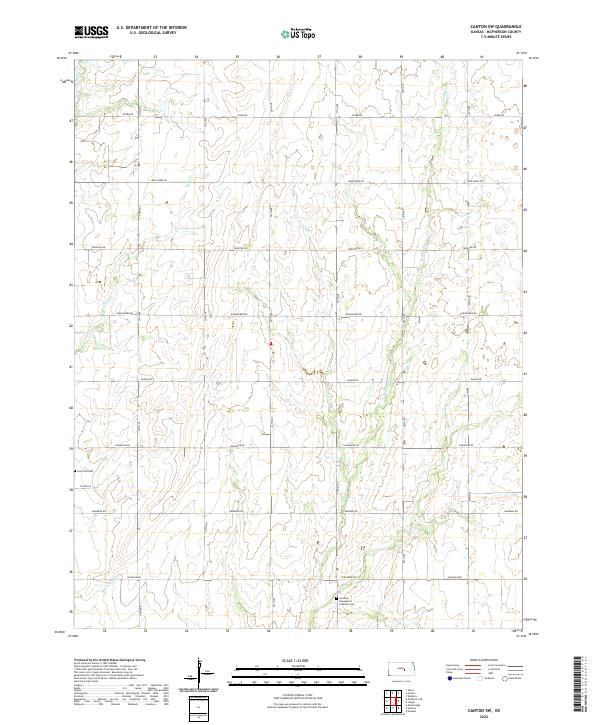
2022 Canton SW
McPherson County, KS
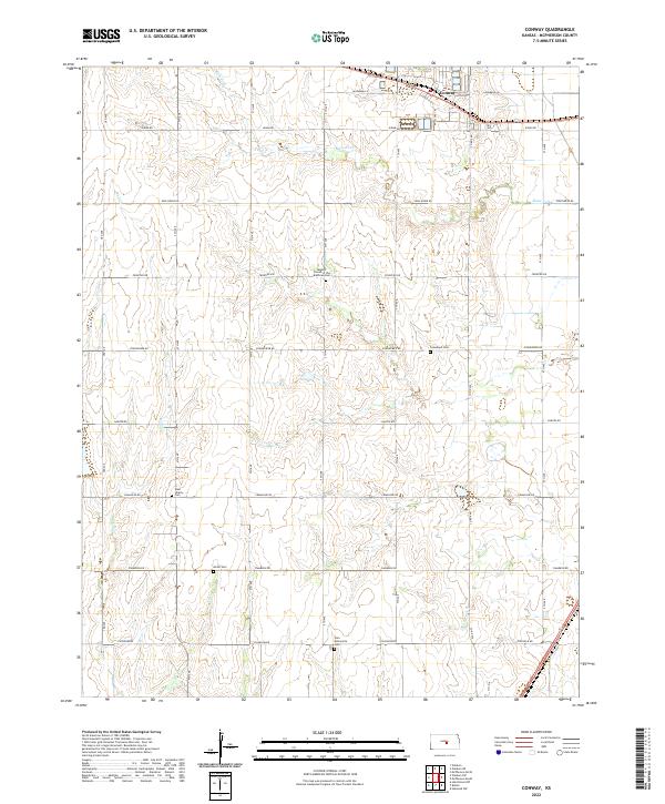
2022 Conway
McPherson County, KS
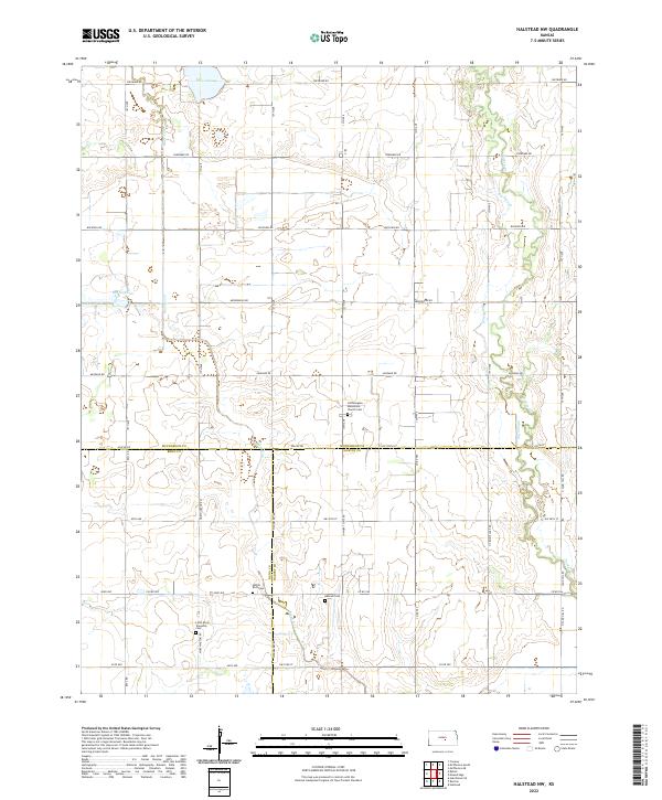
2022 Halstead NW
McPherson County, KS
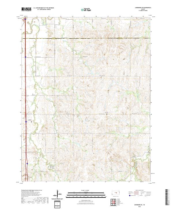
2022 Lindsborg SE
McPherson County, KS
2022 McPherson North
McPherson County, KS
2022 McPherson SE
McPherson County, KS
2022 McPherson South
McPherson County, KS
2022 Windom NE
McPherson County, KS