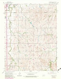
1965 Map of Lindsborg SE
USGS Topo · Published 1983About this map
The Smoky Hill River cuts through the northwest corner of this central Kansas landscape, where the confluence of rail lines and creek drainages shaped early townships. The Union Pacific Missouri Pacific corridor runs parallel to U.S. 81, serving as the primary transit spine for the agricultural communities of Smoky Hill and Smoky View. The map reveals a rural social structure anchored by landmark institutions, such as Zion Cem and Smoky Hill Cem, which stand as enduring markers of early settlement families. Further south, the landscape transitions into the townships of New Gottland and Delmore, where Alliance Acres Park and a Boy Scout Camp indicate a shift toward recreational land use. The presence of several Sandpits along the river and the meandering course of Kentucky Creek highlight the local industrial reliance on the valley's natural resources.
Find a feature on this map
22 named features on this map. Tap any name to fly to it.
Don’t see what you’re looking for? This feature index may not catch every label — zoom into the map to look around manually.
Map Details
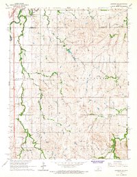
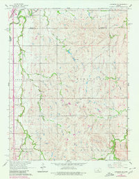
Editions of this 1965 Lindsborg SE Map
3 editions found
Other maps of this area

1889 · Newton
USGS Topo · 1:125,000

1889 · Abilene
USGS Topo · 1:125,000

1891 · Hutchinson
USGS Topo · 1:125,000

1892 · Salina
USGS Topo · 1:125,000

1893 · Hutchinson
USGS Topo · 1:125,000

1894 · Newton
USGS Topo · 1:125,000

1894 · Abilene
USGS Topo · 1:125,000

1942 · Salina
USGS Topo · 1:125,000

1955 · Assaria
USGS Topo · 1:24,000

1955 · Smolan
USGS Topo · 1:24,000