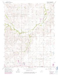
1965 Map of Windom NE
USGS Topo · Published 1985About this map
The rolling plains of McPherson County are defined here by the winding course of South Sharps Creek and its tributary, Edwards Creek. The landscape reflects a mid-20th-century transition between traditional agriculture and modern industrial infrastructure. The southwestern corner is anchored by the Atchison Topeka and Santa Fe railroad, which runs parallel to a developed corridor featuring a Pumping Station and an Underground Gas Storage Radio Tower.
Find a feature on this map
18 named features on this map. Tap any name to fly to it.
Don’t see what you’re looking for? This feature index may not catch every label — zoom into the map to look around manually.
Map Details
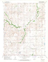
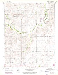
Editions of this 1965 Windom NE Map
3 editions found
Other maps of this area

1891 · Hutchinson
USGS Topo · 1:125,000

1892 · Salina
USGS Topo · 1:125,000

1893 · Hutchinson
USGS Topo · 1:125,000

1942 · Salina
USGS Topo · 1:125,000

1955 · Hutchinson
USGS Topo · 1:250,000

1959 · Hutchinson
USGS Topo · 1:250,000

1964 · Marquette
USGS Topo · 1:24,000
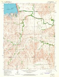
1964 · Langley
USGS Topo · 1:24,000

1964 · Windom SW
USGS Topo · 1:24,000

1964 · Conway
USGS Topo · 1:24,000