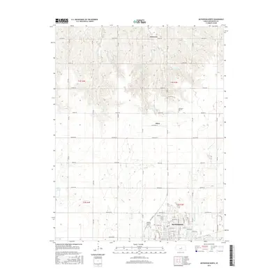
2015 Map of McPherson North
USGS Topo · Published 2015About this map
Mcpherson anchors the southern portion of this landscape, showing a dense residential and commercial grid that transitions into the rural expansive sections of central Kansas. Just north of the city center, the terrain is defined by the headwaters and drainages of Paint Cr, Indian Cr, and Bull Cr, which carve subtle valleys through the agricultural plains. Smaller settlements like Johnstown and Hilton are captured at their modern crossroads, serving as community nodes along the geometric road network defined by Quivera RD and Pueblo RD.
Find a feature on this map
36 named features on this map. Tap any name to fly to it.
Don’t see what you’re looking for? This feature index may not catch every label — zoom into the map to look around manually.
Map Details
Editions of this 2015 McPherson North Map
This is the sole edition of this map. No revisions or reprints were ever made.
Other maps of this area

1891 · Hutchinson
USGS Topo · 1:125,000

1892 · Salina
USGS Topo · 1:125,000

1893 · Hutchinson
USGS Topo · 1:125,000

1942 · Salina
USGS Topo · 1:125,000

1955 · Hutchinson
USGS Topo · 1:250,000

1959 · Hutchinson
USGS Topo · 1:250,000

1964 · Marquette
USGS Topo · 1:24,000

1964 · Conway
USGS Topo · 1:24,000

1965 · Mc Pherson South
USGS Topo · 1:24,000

1965 · Galva
USGS Topo · 1:24,000