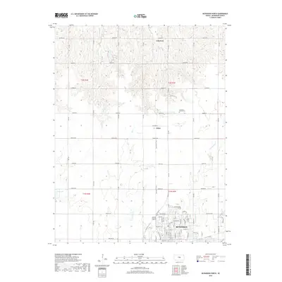
2018 Map of McPherson North
USGS Topo · Published 2018About this map
McPherson serves as the focal point of this North Central Kansas landscape, where the transition from organized urban streets to vast agricultural sections is clearly defined. The northern reaches of the city are characterized by modern developments like Oak Park Dr and Veranda Cir, while the northern survey sections maintain a traditional rural character. Smaller outposts such as Johnstown and Hilton are situated along the sectional road grid, connected by routes with heritage names like Quivera Rd and Pawnee Rd.
Find a feature on this map
38 named features on this map. Tap any name to fly to it.
Don’t see what you’re looking for? This feature index may not catch every label — zoom into the map to look around manually.
Map Details
Editions of this 2018 McPherson North Map
This is the sole edition of this map. No revisions or reprints were ever made.
Other maps of this area

1891 · Hutchinson
USGS Topo · 1:125,000

1892 · Salina
USGS Topo · 1:125,000

1893 · Hutchinson
USGS Topo · 1:125,000

1942 · Salina
USGS Topo · 1:125,000

1955 · Hutchinson
USGS Topo · 1:250,000

1959 · Hutchinson
USGS Topo · 1:250,000

1964 · Marquette
USGS Topo · 1:24,000

1964 · Conway
USGS Topo · 1:24,000

1965 · Mc Pherson South
USGS Topo · 1:24,000

1965 · Galva
USGS Topo · 1:24,000