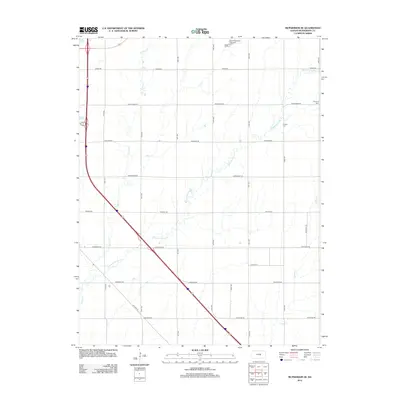
2012 Map of McPherson SE
USGS Topo · Published 2012About this map
Running Turkey Creek and its many small tributaries define the agricultural character of this portion of McPherson County. The landscape is organized by a precise grid of rural roads, including Old Hwy 81 and several routes named for regional history, such as Chisholm Rd and Cimarron Rd. These roads provide access to the vast farmsteads and rural landmarks that dot the countryside, while more modern developments like the Galva Wastewater Treatment Facility appear in the northern sections.
Find a feature on this map
25 named features on this map. Tap any name to fly to it.
Don’t see what you’re looking for? This feature index may not catch every label — zoom into the map to look around manually.
Map Details
Editions of this 2012 McPherson SE Map
This is the sole edition of this map. No revisions or reprints were ever made.
Other maps of this area

1889 · Newton
USGS Topo · 1:125,000

1891 · Hutchinson
USGS Topo · 1:125,000

1893 · Hutchinson
USGS Topo · 1:125,000

1894 · Newton
USGS Topo · 1:125,000

1955 · Hutchinson
USGS Topo · 1:250,000

1959 · Hutchinson
USGS Topo · 1:250,000

1965 · Mc Pherson South
USGS Topo · 1:24,000

1965 · Galva
USGS Topo · 1:24,000

1965 · Halstead NW
USGS Topo · 1:24,000
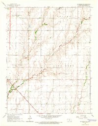
1965 · Mc Pherson SE
USGS Topo · 1:24,000