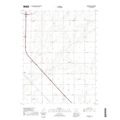
2018 Map of McPherson SE
USGS Topo · Published 2018About this map
The settlement of Elyria and the southern reaches of McPherson anchor this Kansas landscape, defined by a grid of agricultural section roads and the winding paths of several creeks. The drainage of Running Turkey Cr and Turkey Cr cuts through the prairie, creating natural variations in the otherwise orderly township lines of t20s r3w and t20s r2w. This area preserves several markers of local heritage, including Dunkard Cem and Empire Cem, which remain as essential points of interest for genealogists tracking early settlers in McPherson County.
Find a feature on this map
26 named features on this map. Tap any name to fly to it.
Don’t see what you’re looking for? This feature index may not catch every label — zoom into the map to look around manually.
Map Details
Editions of this 2018 McPherson SE Map
This is the sole edition of this map. No revisions or reprints were ever made.
Other maps of this area

1889 · Newton
USGS Topo · 1:125,000

1891 · Hutchinson
USGS Topo · 1:125,000

1893 · Hutchinson
USGS Topo · 1:125,000

1894 · Newton
USGS Topo · 1:125,000

1955 · Hutchinson
USGS Topo · 1:250,000

1959 · Hutchinson
USGS Topo · 1:250,000

1965 · Mc Pherson South
USGS Topo · 1:24,000

1965 · Galva
USGS Topo · 1:24,000

1965 · Halstead NW
USGS Topo · 1:24,000
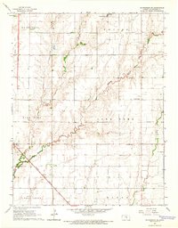
1965 · Mc Pherson SE
USGS Topo · 1:24,000