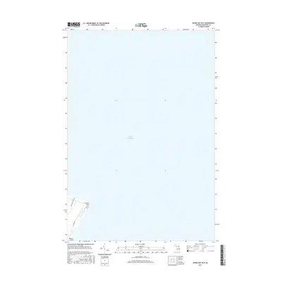
2017 Map of McRae Bay OE E
USGS Topo · Published 2017About this map
Lake Huron dominates the landscape in this coastal survey, where the southeastern tip of Bois Blanc Island meets the open water. The map documents a small, developed wedge of land at the island's edge, anchored by Lafayette Point and the southward projection of Walkers Point. The local transportation network is represented by Washington Park Blvd and E Huron Dr, providing access to the shoreline properties overlooking the straits. This 2017 edition records the modern boundary between terrestrial Michigan and the vast aquatic expanse of the Great Lakes, showing the precise relationship between the shoreline terrain and the deep waters of the lake.
Find a feature on this map
5 named features on this map. Tap any name to fly to it.
Don’t see what you’re looking for? This feature index may not catch every label — zoom into the map to look around manually.
Map Details
Editions of this 2017 McRae Bay OE E Map
This is the sole edition of this map. No revisions or reprints were ever made.
Other maps of this area

1955 · Cheboygan
USGS Topo · 1:250,000

1957 · Cheboygan
USGS Topo · 1:62,500

1958 · Cheboygan
USGS Topo · 1:250,000

1958 · Grace
USGS Topo · 1:62,500
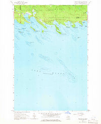
1964 · Prentiss Bay
USGS Topo · 1:24,000
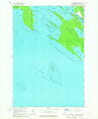
1964 · Goose Island
USGS Topo · 1:24,000

1964 · McRae Bay
USGS Topo · 1:24,000
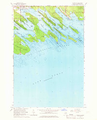
1964 · Cedarville
USGS Topo · 1:24,000

1982 · Cordwood Point
USGS Topo · 1:25,000

1982 · Cheboygan
USGS Topo · 1:25,000