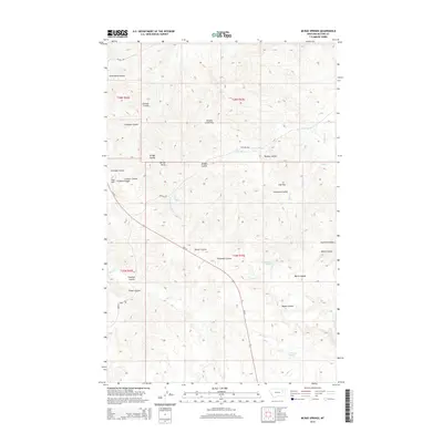
2014 Map of McRae Springs
USGS Topo · Published 2014About this map
Mc Rae Springs and Alexander Springs dot this McCone County landscape, highlighting the vital water sources that have historically sustained life in this semi-arid region. The terrain is defined by an intricate network of coulees—dry creek beds that fill during seasonal rains—including Plum Patch Coulee, Widow Coulee, and the lengthy Beaver Coulee. These features illustrate the erosion patterns characteristic of the northern plains, where flat-topped landmarks like Caprock Butte and Sids Flat rise above the drainage systems.
Find a feature on this map
31 named features on this map. Tap any name to fly to it.
Don’t see what you’re looking for? This feature index may not catch every label — zoom into the map to look around manually.
Map Details
Editions of this 2014 McRae Springs Map
This is the sole edition of this map. No revisions or reprints were ever made.
Other maps of this area

1914 · Nashua
USGS Topo · 1:62,500

1915 · Frazer
USGS Topo · 1:62,500

1916 · Nashua
USGS Topo · 1:62,500

1954 · Jordan
USGS Topo · 1:250,000

1954 · Glasgow
USGS Topo · 1:250,000

1956 · Jordan
USGS Topo · 1:250,000

1957 · Glasgow
USGS Topo · 1:250,000

1958 · Glasgow
USGS Topo · 1:250,000

1958 · Jordan
USGS Topo · 1:250,000

1964 · Jordan
USGS Topo · 1:250,000