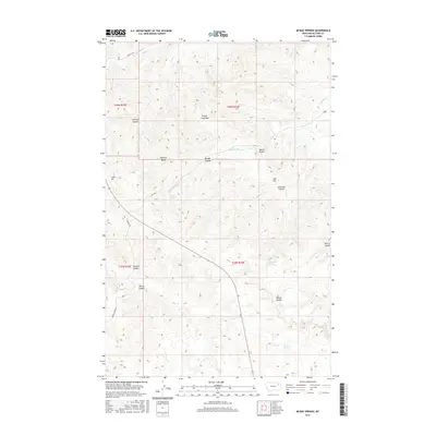
2017 Map of McRae Springs
USGS Topo · Published 2017About this map
Mc Rae Springs and Alexander Springs anchor this portion of the northern plains, where water sources have long dictated the movement of livestock and people through the breaks of McCone County. The terrain is defined by a dense network of coulees, including Widow Coulee and Scotsman Coulee, which drain toward larger watercourses like Hungry Cr. These geological features reflect the transition from flat prairie to the more complex topography near Hungry Creek Pass.
Find a feature on this map
29 named features on this map. Tap any name to fly to it.
Don’t see what you’re looking for? This feature index may not catch every label — zoom into the map to look around manually.
Map Details
Editions of this 2017 McRae Springs Map
This is the sole edition of this map. No revisions or reprints were ever made.
Other maps of this area

1914 · Nashua
USGS Topo · 1:62,500

1915 · Frazer
USGS Topo · 1:62,500

1916 · Nashua
USGS Topo · 1:62,500

1954 · Jordan
USGS Topo · 1:250,000

1954 · Glasgow
USGS Topo · 1:250,000

1956 · Jordan
USGS Topo · 1:250,000

1957 · Glasgow
USGS Topo · 1:250,000

1958 · Glasgow
USGS Topo · 1:250,000

1958 · Jordan
USGS Topo · 1:250,000

1964 · Jordan
USGS Topo · 1:250,000