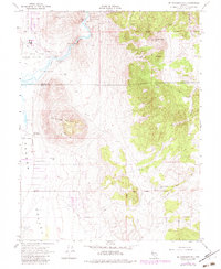
1968 Map of McTarnahan Hill
USGS Topo · Published 1983About this map
Hot Springs Mountain and Prison Hill dominate the landscape east of Carson Valley, overlooking the winding path of the Carson River. The map documents a diverse mix of land use, from the Nevada State Medium Security Prison near Clear Creek to the sprawling Washoe Indian Allotments. Resource extraction is evident through the Bunker Hill Mine and scattered prospects in the higher elevations.
Find a feature on this map
24 named features on this map. Tap any name to fly to it.
Don’t see what you’re looking for? This feature index may not catch every label — zoom into the map to look around manually.
Map Details
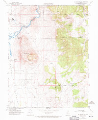
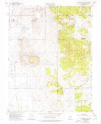
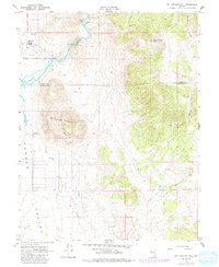
Editions of this 1968 McTarnahan Hill Map
4 editions found
Other maps of this area

1889 · Markleeville
USGS Topo · 1:125,000

1891 · Carson
USGS Topo · 1:125,000

1891 · Markleeville
USGS Topo · 1:125,000

1893 · Carson
USGS Topo · 1:125,000

1893 · Markleeville
USGS Topo · 1:125,000

1948 · Walker Lake
USGS Topo · 1:250,000

1956 · Freel Peak
USGS Topo · 1:62,500

1956 · Dayton
USGS Topo · 1:62,500

1956 · Carson City
USGS Topo · 1:62,500

1957 · Walker Lake
USGS Topo · 1:250,000