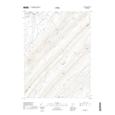
2019 Map of McVeytown
USGS Topo · Published 2019About this map
McVeytown and Mattawana anchor the northern reaches of this landscape, situated along the banks of the Juniata River where the valley floor meets the steep rise of the Appalachians. The terrain is defined by the sharp, parallel ridges of Shade Mountain and Blacklog Mountain, which create a series of narrow valleys including the prominent Blacklog Valley. These ridges are breached only by isolated passages such as Bratton Gap and Miller Gap, which historically dictated the flow of travel and settlement in Mifflin and Juniata counties.
Find a feature on this map
69 named features on this map. Tap any name to fly to it.
Don’t see what you’re looking for? This feature index may not catch every label — zoom into the map to look around manually.
Map Details
Editions of this 2019 McVeytown Map
This is the sole edition of this map. No revisions or reprints were ever made.
Other maps of this area

1919 · Mattawana
USGS Topo · 1:62,500

1919 · Menno
USGS Topo · 1:62,500

1922 · Mt Union
USGS Topo · 1:48,000

1924 · Mt. Union
USGS Topo · 1:62,500

1924 · Lewistown
USGS Topo · 1:62,500

1927 · Lewisburg
USGS Topo · 1:62,500

1935 · Allensville
USGS Topo · 1:62,500

1936 · East Waterford
USGS Topo · 1:48,000

1938 · Allensville
USGS Topo · 1:62,500

1941 · East Waterford
USGS Topo · 1:62,500