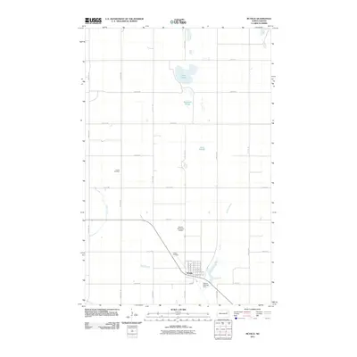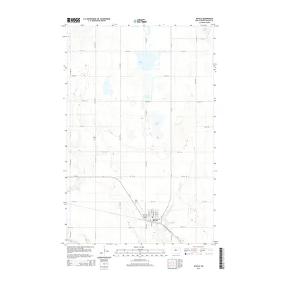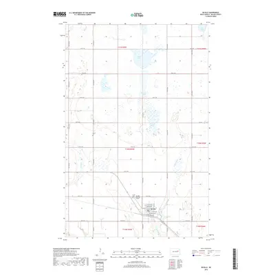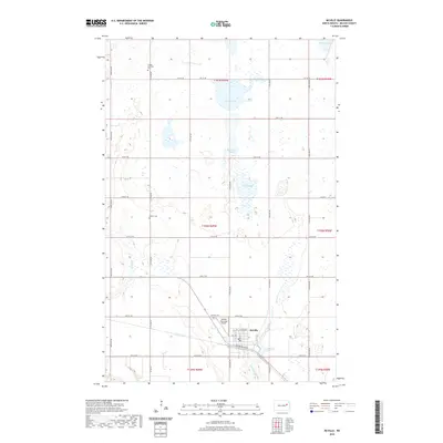
2024 Map of McVille
USGS Topo · Published 2024About this map
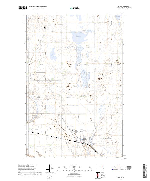
McVille anchors the southern portion of this Nelson County landscape, where the town layout is defined by streets such as Vail Ave and Railroad Ave. This area of North Dakota is characterized by a high density of prairie wetlands, represented by extensive sloughs and waterfowl habitats. The Nelson County Waterfowl Production Area spans several sections, protecting vital water bodies like Dahl Slough and Olsen Slough. These glacial features, alongside McVille Coulee and Silver Creek, dictate the local drainage and land use patterns.
Find a feature on this map
38 named features on this map. Tap any name to fly to it.
Don’t see what you’re looking for? This feature index may not catch every label — zoom into the map to look around manually.
Map Details
Editions of this 2024 McVille Map
This is the sole edition of this map. No revisions or reprints were ever made.
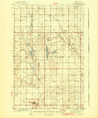
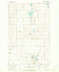
Historical Maps of McVille Through Time
7 maps found