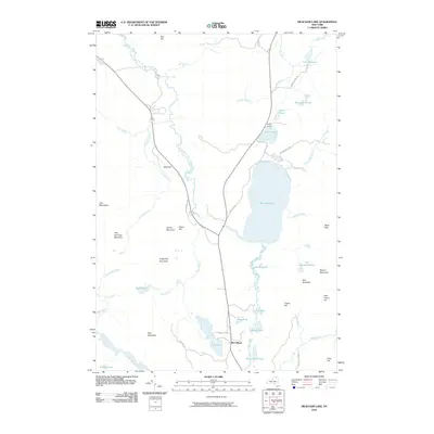
2010 Map of Meacham Lake
USGS Topo · Published 2010About this map
Adirondack Park protects this expansive lake-and-river landscape, where the East Branch Saint Regis River and the Osgood River serve as primary drainage for dozens of named ponds. The settlement at McColloms and the nearby Camp Bedford represent the primary human footprints in a region dominated by peaks like Sugarloaf Mountain, Star Mountain, and Rice Mountain.
Find a feature on this map
49 named features on this map. Tap any name to fly to it.
Don’t see what you’re looking for? This feature index may not catch every label — zoom into the map to look around manually.
Map Details
Editions of this 2010 Meacham Lake Map
This is the sole edition of this map. No revisions or reprints were ever made.
Other maps of this area

1902 · Saranac
USGS Topo · 1:62,500

1904 · Saranac
USGS Topo · 1:62,500

1905 · Saint Regis
USGS Topo · 1:62,500

1906 · Loon Lake
USGS Topo · 1:62,500

1908 · Loon Lake
USGS Topo · 1:62,500

1921 · Santa Clara
USGS Topo · 1:62,500

1923 · Santa Clara
USGS Topo · 1:62,500

1948 · Ogdensburg
USGS Topo · 1:250,000

1951 · Ogdensburg
USGS Topo · 1:250,000

1953 · Ogdensburg
USGS Topo · 1:250,000