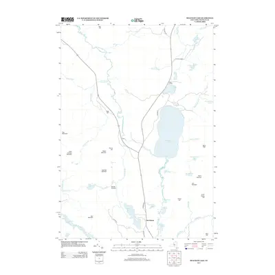
2013 Map of Meacham Lake
USGS Topo · Published 2013About this map
Meacham Lake and the small settlement at McColloms anchor this landscape in northern Franklin County. This area is defined by an intricate network of Adirondack waterways, including the winding E Br Saint Regis River and the Deer River. The map reveals a high concentration of secluded water bodies like Lake Florence, Buck Pond, and Madawaska Pond, interspersed with numerous peaks such as Star Mountain and Sugarloaf Mountain.
Find a feature on this map
51 named features on this map. Tap any name to fly to it.
Don’t see what you’re looking for? This feature index may not catch every label — zoom into the map to look around manually.
Map Details
Editions of this 2013 Meacham Lake Map
This is the sole edition of this map. No revisions or reprints were ever made.
Other maps of this area

1902 · Saranac
USGS Topo · 1:62,500

1904 · Saranac
USGS Topo · 1:62,500

1905 · Saint Regis
USGS Topo · 1:62,500

1906 · Loon Lake
USGS Topo · 1:62,500

1908 · Loon Lake
USGS Topo · 1:62,500

1921 · Santa Clara
USGS Topo · 1:62,500

1923 · Santa Clara
USGS Topo · 1:62,500

1948 · Ogdensburg
USGS Topo · 1:250,000

1951 · Ogdensburg
USGS Topo · 1:250,000

1953 · Ogdensburg
USGS Topo · 1:250,000