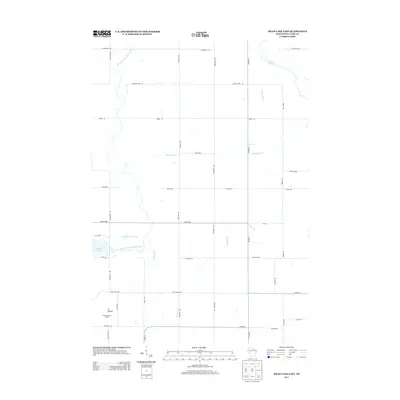
2013 Map of Mead Lake East
USGS Topo · Published 2013About this map
The South Fork Eau Claire River and its tributaries define this section of Clark County, feeding into the eastern edge of Mead Lake 95. This landscape is characterized by a precise grid of rural transit corridors like Co Hwy-MM and Sterling Ave, indicating the structured land divisions common in Wisconsin's interior. Notable topographical landmarks include N Mound and the Kokaly Lookout Tower, which provides a high vantage point over the surrounding woods and waterways. Smaller hydrological features such as Norwegian Cr, Popple River, and Rocky Run intersect the road network, highlighting the drainage patterns that shaped the area's development and use.
Find a feature on this map
32 named features on this map. Tap any name to fly to it.
Don’t see what you’re looking for? This feature index may not catch every label — zoom into the map to look around manually.
Map Details
Editions of this 2013 Mead Lake East Map
This is the sole edition of this map. No revisions or reprints were ever made.
Other maps of this area

1948 · Fairchild
USGS Topo · 1:62,500

1949 · Fairchild
USGS Topo · 1:62,500

1952 · Stanley
USGS Topo · 1:62,500

1953 · Neillsville
USGS Topo · 1:62,500

1953 · Owen
USGS Topo · 1:48,000

1953 · Eau Claire
USGS Topo · 1:250,000

1958 · Eau Claire
USGS Topo · 1:250,000

1963 · Owen
USGS Topo · 1:62,500

1964 · Eau Claire
USGS Topo · 1:250,000
1976 · Stanley NE
USGS Topo · 1:24,000