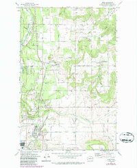
1973 Map of Mead
USGS Topo · Published 1986About this map
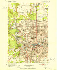
Mead stands at a nexus of transport and agriculture north of Spokane, where the Burlington Northern railroad meets a landscape of distinct upland flats like Peone Prairie and Green Bluff. This survey, updated with purple photorevisions from 1982, captures the community's transition, showing the Mead Airport and the prominent Grain Elevator alongside newer suburban development and trailer parks. The map preserves several landmarks of local cultural significance, including the Mater Cleri Seminary near Colbert and the Indian Treaty Tree located at the southern edge of the prairie.
Find a feature on this map
48 named features on this map. Tap any name to fly to it.
Don’t see what you’re looking for? This feature index may not catch every label — zoom into the map to look around manually.
Map Details
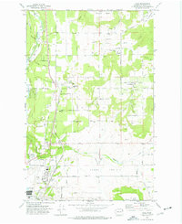
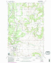
Editions of this 1973 Mead Map
3 editions found
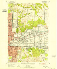
Other maps of this area

1901 · Spokane
USGS Topo · 1:125,000

1943 · Mt Spokane
USGS Topo · 1:62,500

1949 · Deer Park
USGS Topo · 1:62,500

1949 · Greenacres
USGS Topo · 1:62,500
1950 · Spokane NE
USGS Topo · 1:24,000

1950 · Mt Spokane
USGS Topo · 1:62,500
1950 · Spokane NW
USGS Topo · 1:24,000

1950 · Spokane
USGS Topo · 1:62,500
1951 · Deer Park
USGS Topo · 1:62,500

1951 · Greenacres
USGS Topo · 1:62,500