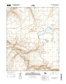
2014 Map of Meade River A-5 SW
USGS Topo · Published 2014About this map
The Avalik River meanders across this northern landscape, defining the hydrology of a region dominated by permafrost-influenced terrain and seasonal drainage patterns. Near the northern boundary, the Avalitkok Cr feeds into the broader watershed, illustrating the complex network of Arctic waterways that shape the North Slope. This survey, conducted as part of the National Geospatial Program, provides a precise record of the land divisions within townships such as t8n r28w and t9n r28w. The topographic data reveals a low-relief environment where subtle changes in elevation dictate the flow of the river system, serving as a vital baseline for understanding the migratory and environmental shifts in this remote section of Alaska.
Find a feature on this map
6 named features on this map. Tap any name to fly to it.
Don’t see what you’re looking for? This feature index may not catch every label — zoom into the map to look around manually.
Map Details
Editions of this 2014 Meade River A-5 SW Map
This is the sole edition of this map. No revisions or reprints were ever made.
Other maps of this area

1951 · Utukok River
USGS Topo · 1:250,000

1951 · Meade River
USGS Topo · 1:250,000

1951 · Wainwright
USGS Topo · 1:250,000

1951 · Lookout Ridge
USGS Topo · 1:250,000

1955 · Wainwright
USGS Topo · 1:250,000

1955 · Meade River
USGS Topo · 1:250,000
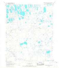
1955 · Meade River A-5
USGS Topo · 1:63,360
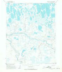
1955 · Wainwright A-1
USGS Topo · 1:63,360

1956 · Lookout Ridge
USGS Topo · 1:250,000

1956 · Utukok River
USGS Topo · 1:250,000