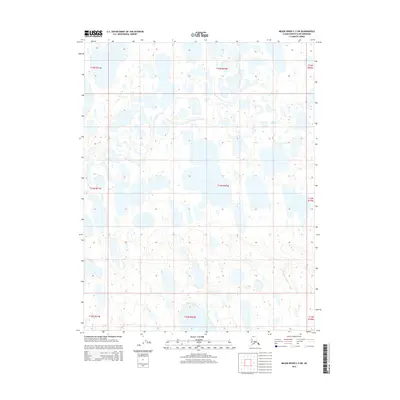
2015 Map of Meade River C-2 SW
USGS Topo · Published 2015About this map
Arctic tundra and vast networks of water define this remote region of the North Slope. Surveyed according to the Public Land Survey System, the terrain is partitioned into townships including T15n R21w, T14n R20w, and T13n R19w. The landscape is a complex mosaic of thousands of small, unnamed thaw lakes and ponds, indicating a permafrost-rich environment where shifting drainage patterns shape the ground. This 2015 study captures the state of the watershed before further environmental or geological shifts, providing a precise spatial record for researchers monitoring northern hydrology and land use.
Find a feature on this map
9 named features on this map. Tap any name to fly to it.
Don’t see what you’re looking for? This feature index may not catch every label — zoom into the map to look around manually.
Map Details
Editions of this 2015 Meade River C-2 SW Map
This is the sole edition of this map. No revisions or reprints were ever made.
Other maps of this area

1951 · Meade River
USGS Topo · 1:250,000

1955 · Meade River
USGS Topo · 1:250,000

1955 · Meade River B-3
USGS Topo · 1:63,360

1955 · Meade River B-2
USGS Topo · 1:63,360

1955 · Meade River C-3
USGS Topo · 1:63,360
1955 · Meade River C-2
USGS Topo · 1:63,360
2013 · Meade River C-3 SE
USGS Topo · 1:25,000
2013 · Meade River C-3 NE
USGS Topo · 1:25,000
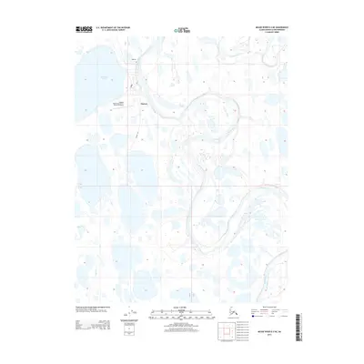
2013 · Meade River B-3 NE
USGS Topo · 1:25,000
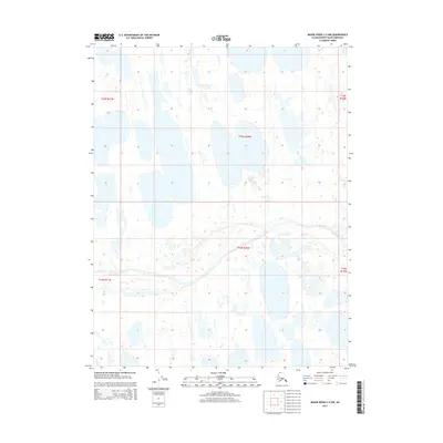
2015 · Meade River C-2 NW
USGS Topo · 1:25,000