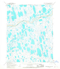
1955 Map of Meade River C-2
USGS Topo · Published 1967About this map
Naval Petroleum Reserve No. 4 encompasses this entire Arctic landscape, a region defined by a dense network of thaw lakes and meandering watercourses. The braided channels of the Meade River dominate the northern terrain, flowing past the confluence of the Okpiksak River. This 1955 survey illustrates the remote infrastructure of the North Slope during the mid-century, where mobility was dictated by the seasons. Overland movement is represented by a Winter Trail and a Tractor Trail, routes essential for traversing the muskeg and frozen tundra. The map provides a detailed record of the hydrography before significant modern industrial development, showing the natural drainage patterns and the predetermined land lines established by the Bureau of Land Management.
Find a feature on this map
11 named features on this map. Tap any name to fly to it.
Don’t see what you’re looking for? This feature index may not catch every label — zoom into the map to look around manually.
Map Details
Editions of this 1955 Meade River C-2 Map
2 editions found
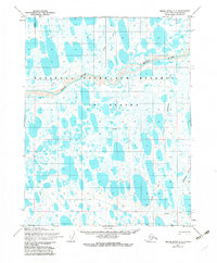
Other maps of this area

1951 · Meade River
USGS Topo · 1:250,000

1955 · Meade River
USGS Topo · 1:250,000

1955 · Meade River B-1
USGS Topo · 1:63,360

1955 · Meade River B-3
USGS Topo · 1:63,360

1955 · Meade River B-2
USGS Topo · 1:63,360

1955 · Meade River C-1
USGS Topo · 1:63,360

1955 · Meade River D-2
USGS Topo · 1:63,360

1955 · Meade River C-3
USGS Topo · 1:63,360

1955 · Meade River D-3
USGS Topo · 1:63,360
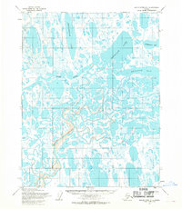
1955 · Meade River D-1
USGS Topo · 1:63,360